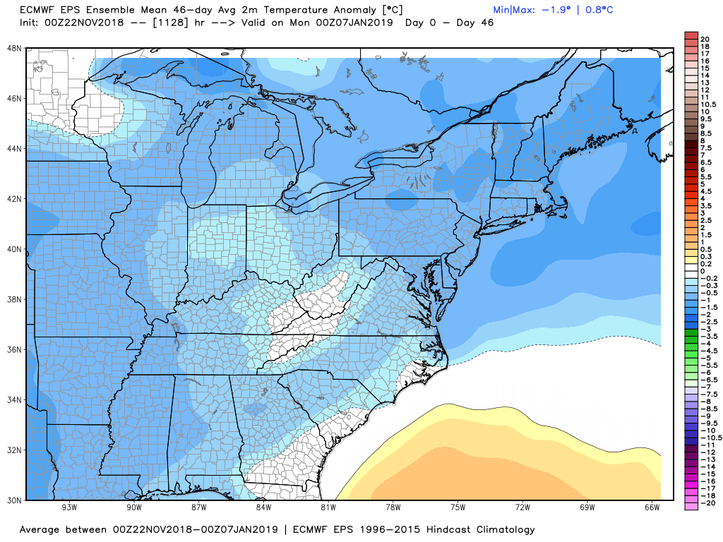
Congratulations! You survived the coldest Thanksgiving on record in the Northeast. Thursday’s temperature was 20-25° below normal in Southern New England, and record lows were set both Thursday and Friday in Providence, Hartford and Bridgeport. This has been a wild month with the temperature now averaging 2-4° colder than normal Southern New England. Combine that with a lot of precipitation, including the early-season snow, and it seems like winter is already rolling right along. Thankfully, it will get a bit milder this weekend. You may want to get those holiday decorations setup outside, because it looks like December could be relatively cold, too.
Friday will be a bright day with highs only in the low 30s as the Arctic air hangs on. There will be a lot less wind than Thursday, so it’s not a terrible day to be outside. The chill hangs on Friday night, but it’s not as bitter as the past two nights. Expect lows in the 20s. A wind shift on Saturday ahead of a rain storm brings the temperature back into the 40s – still a bit cool for late-November. Rain is likely Saturday night into early Sunday. It’s unclear how heavy the rain will be because the storm may split in two leaving not as much precipitation over part of Southern New England. At a minimum there should be at least some showers, and if it’s more organized, another 0.4-0.8″ rain arrives. Sunday looks damp early then mostly cloudy and mild with temps near 50.
There will not be much of a break between storm systems as rain returns late Monday into Monday night. The track of the storm looks favorable for all rain in CT, RI, and SE MA, but not by much. I will keep an eye on it. Most of the precipitation should come through between noon and midnight. Expect 0.5-1.0″ of rain. It’s already the fifth wettest November (7.79″) on record in Providence, and there may be enough rain between the weekend and Monday storms to put it up to second place on the all-time list behind 11.01″ in 1983.

Consensus track of the Monday storm is too close to the coast for any snow
A dry and cool stretch is likely in the middle to end of next workweek. A slow-moving storm could find it’s way to the East Coast by the end of next weekend. The European Weeklies, which are produced twice a week, are advertising an overall relatively cold stretch of weather for the rest of the calendar year. A closer look suggests that most of the relatively cold weather will happen in the next 10-14 days. December also does not look particularly wet on the latest model run.