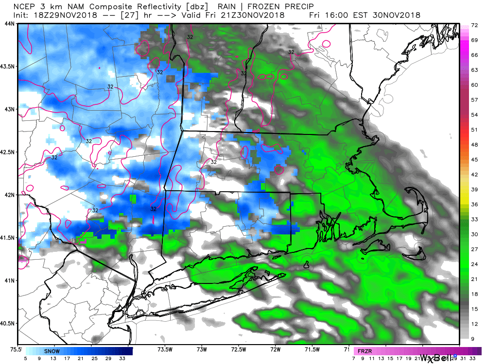
A very weak system passing by on Friday will bring clouds and possibly rain/snow showers in the afternoon and evening. There is a slight chance of a coating of snow after sunset away from the coast. It does not look like a big deal. Highs will be in the upper 30s to low 40s, so even if there are some flakes during the day, they will not stick to pavement. Dry skies are likely from 8-9 pm Friday through Saturday afternoon. Highs will be in the low 40s on Saturday.
Rain arrives Saturday night for most of Southern New England. It should move in between 8-11 pm, arriving first in southwestern CT. There may enough cold air in the northwest hills of CT for a brief mix of sleet/snow before the rain. Rain continues overnight and through Sunday morning before tapering to drizzle/mist midday into the afternoon. I expect 0.5-1″ of rain with this storm system. The temperature will rise well into the 50s near the coast, and should reach the upper 40s inland on Sunday.
Dry weather returns by late Sunday and continues into early next week. Monday looks like a nice and mild day with highs in the 50s. It will turn cooler and likely stay dry on Tuesday. Expect highs in the 40s.
There is a lot of uncertainty about the forecast in the middle to end of next week. A storm will most likely form in the Atlantic Ocean in the midweek, but it is unclear if it will come close enough to the coast to bring rain/snow to Southern New England. The latest computer model trends are further south and out to sea, but it still bears watching.


I am still watching the potential for another storm at the end of next week. Again, it’s impossible to say exactly how it will play out, but it is a situation where the conditions are favorable for a storm to form somewhere near the East Coast of the United States. When looking at a 8-10 day forecast, I am examining the possible jet stream configuration and what type of weather that typically brings. The forecast can usually be narrowed a bit in the 4-7 day range, and it’s not until the 1-3 day range that we can really hone in on the specifics.


