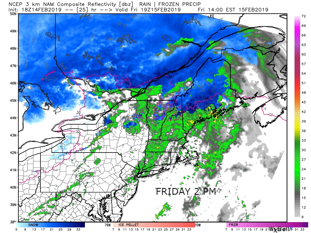
A storm system moving through New England on Friday will bring rain showers and mild temperatures. Expect highs in the 40s to low 50s. There will be a gusty southerly wind between 15-30 mph. It will not rain the whole day, but showers are possible off and on through the day. The rain threat ends by midnight, and the temperature falls below freezing by dawn on Saturday.
Saturday will be partly cloudy and seasonable with highs near 40. The temperature falls to the upper teens to low 20s by Sunday morning. Expect some sun on Sunday, but it will be colder with highs in the mid 30s. It’s a close call with light snow Sunday night into Monday. I’m leaning towards the storm staying far enough away that there will not be steady snow in Southern New England.

Monday and Tuesday will feature highs in the mid to upper 30s. Another storm makes a run at Southern New England in the middle of next week. There is a better chance of steady precipitation in the early Wednesday to midday Thursday time frame. The storm’s track is uncertain, but there should be enough cold air around for some snow before any mix/rain.

The midweek storm may be followed by another storm system next weekend. It looks like an active end to February.


