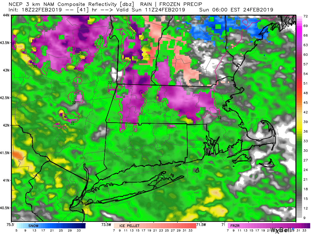
Dry weather continues on Saturday. It will be a bit cooler with the temperature climbing out of the 20s at dawn into the upper 30s to low 40s in the afternoon. Clouds will stream in during the afternoon. It will stay dry through the day and most or all of the evening. Rain develops across most of CT, RI and SE MA overnight. There may be enough cold air north of I-84 in CT and in far NW RI for a brief period of sleet or freezing rain. It should not last more than 1-2 hours late at night. Sunday morning looks soggy, with rain possibly heavy at times. The rain will taper off in the afternoon.
You can expect 0.6-1.2″ of rain, with the highest odds of an inch near the coast. The temperature will reach well into the 40s and possibly low 50s on Sunday afternoon. Expect a gusty wind near the coast. An active west to northwest wind takes over Sunday night as the storm departs. The temperature may not dip below freezing Sunday night. It will be very windy on Monday, with 40+ mph gusts possible under partly cloudy skies. The temperature may briefly reach 40 before turning colder in the afternoon. The middle of next week looks cold and most likely dry. I am watching a potential snow-maker to our south Wednesday night into Thursday. Right now, it looks like a miss.


