The average temperature for the first 10 days of March was in the top 10 coldest on record in the Providence area. So far this month, the temperature is averaging 6-8 degrees colder than normal in Providence, Bridgeport, and Hartford. There is still a fair amount of natural snow on the ground in most of Southern New England even after a storm brought brief snow/sleet followed by rain on Sunday. There will be some melting on Monday as the temperature climbs into the 40s with a sun/clouds blend. There will be an active westerly wind between 10-20 mph. A few towns could touch 50 degrees on Monday afternoon.
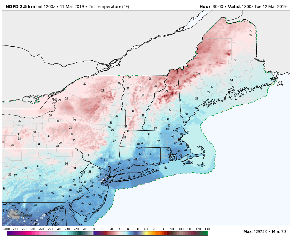
The temperature dips to near freezing Monday night under mainly clear skies as the wind shifts to the northwest. The colder wind direction ushers in slightly cooler weather for the midweek. Expect a decent dose of sunshine with temperatures in the low to mid 40s on Tuesday. The northwest breeze will make it feel a bit cooler. The temperature falls into the 20s under clear skies without much of a breeze Tuesday night. Wednesday looks decent, with highs in the low to mid 40s and little wind.
A disturbance passing through Northern New England Wednesday night into early Thursday may clip Southern New England with a few light rain showers. There’s a good chance it will stay dry near the coast. Thursday should be warmer, with highs near 50 as a southwest breeze develops. If you’re very close to the ocean, you will notice that wind direction as a cold breeze for the next couple of months. The southwest wind continues on Friday as a cold front approaches and brings the potential for rain showers. It does not look like a soaking rain, and it will stay mild with temps in the 50s.
The front moves offshore by early Saturday, so expect a dry weekend. Saturday will be the warmer day, with highs in the upper 40s to low 50s. Sunday looks seasonably cool with temps in the mid 40s. Spring arrives in the middle of next week, but it’s too soon to completely slam the door on any snow potential. The weather setup next week is somewhat favorable for a storm to develop near the Eastern Seaboard in the midweek. It has to thread the needle to bring a big snow event at that time of the year. The more likely scenario is for rain or mixed precipitation should anything develop. I’ll be keeping an eye on that part of the forecast.


