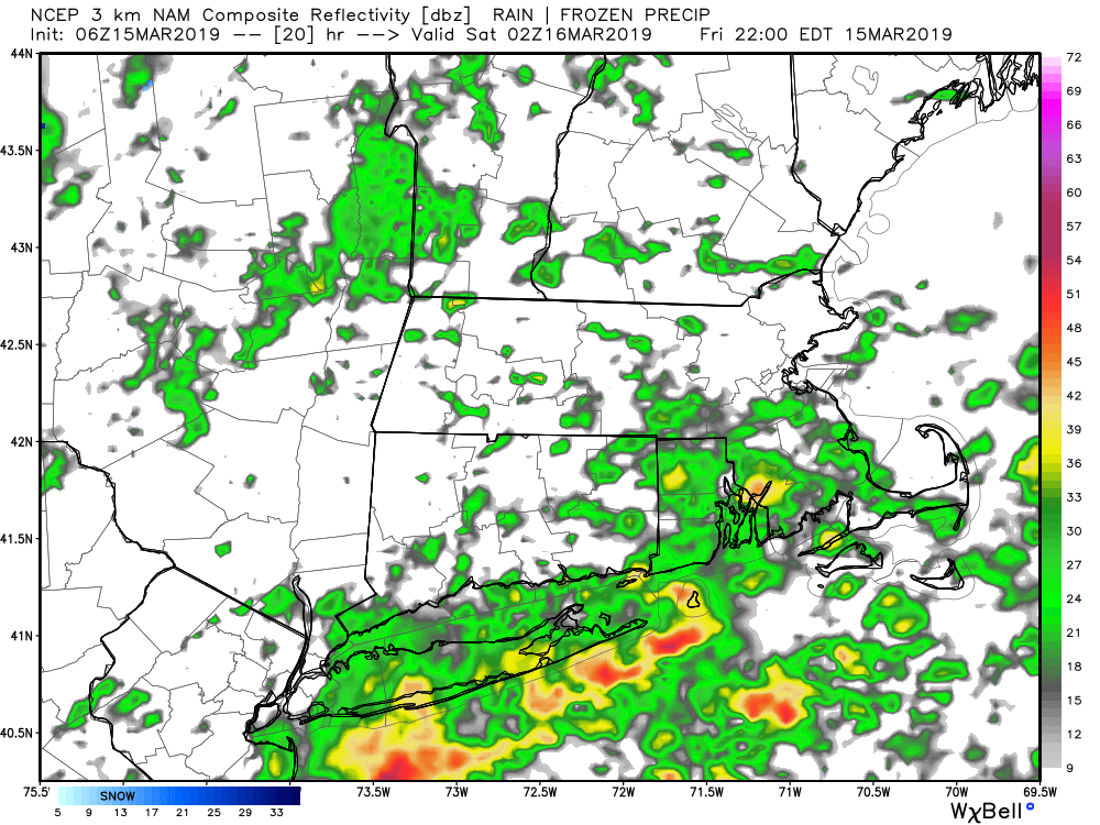
Mild weather arrived as expected overnight, and it will stay on the warm side for the ides of March on Friday. The downside is scattered showers, and maybe even some thunder/lightning, rolling through Connecticut, Rhode Island, and Massachusetts at times during the day and evening. When it’s not raining, which should be most of the time, it will be cloudy and breezy – especially near the coast. The temperature will range from the upper 40s very close to the water to the mid 50s inland. Winds may gust over 30 mph near the water. Even though there may be some brief downpours, widespread heavy rain is not expected through Friday evening. Rain totals will be less than a half-inch for most, with some towns, most likely near the coast, possibly getting 0.5-0.75″ of rain.
Saturday looks breezy to windy, dry and seasonable. Expect highs in the upper 40s – which is just about normal for this time of the year. The weather looks good for any St. Patrick’s Day parades or festivities on either Saturday or Sunday. It will be a bit colder on Sunday with highs in the low 40s under partly sunny skies.
Quiet next week
At one point it looked like there could be a storm to contend with in the middle of next week, but that system is likely to develop far enough out in the Atlantic Ocean that it stays away from the Eastern Seaboard. Overall, it looks like a mainly dry and seasonably cool workweek in Southern New England. A weak disturbance passing through the Mid-Atlantic will likely not bring any precipitation to Southern New England on Monday. The next best chance of rain/snow showers is not until Thursday when a front swings through Northern New England. Right now, that does not look like anything more than showers.


