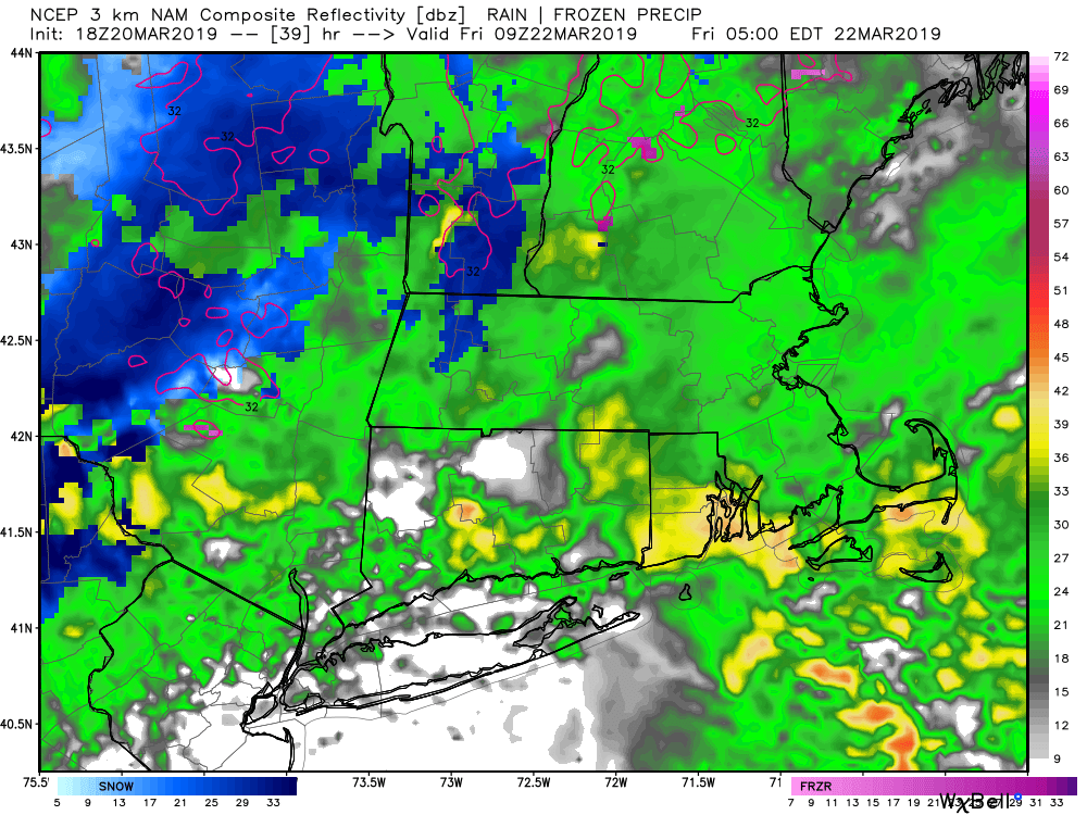
Look for stray rain showers in Connecticut on Thursday as a storm system moves north towards New England. Rain overspreads all of Southern New England Thursday night before tapering to showers by early Friday morning. Scattered showers are possible during the day on Friday, but it does not look like a very wet day. Highs will be in the 40s on Thursday and Friday. About 0.5-1″ of rain is likely from the storm system.
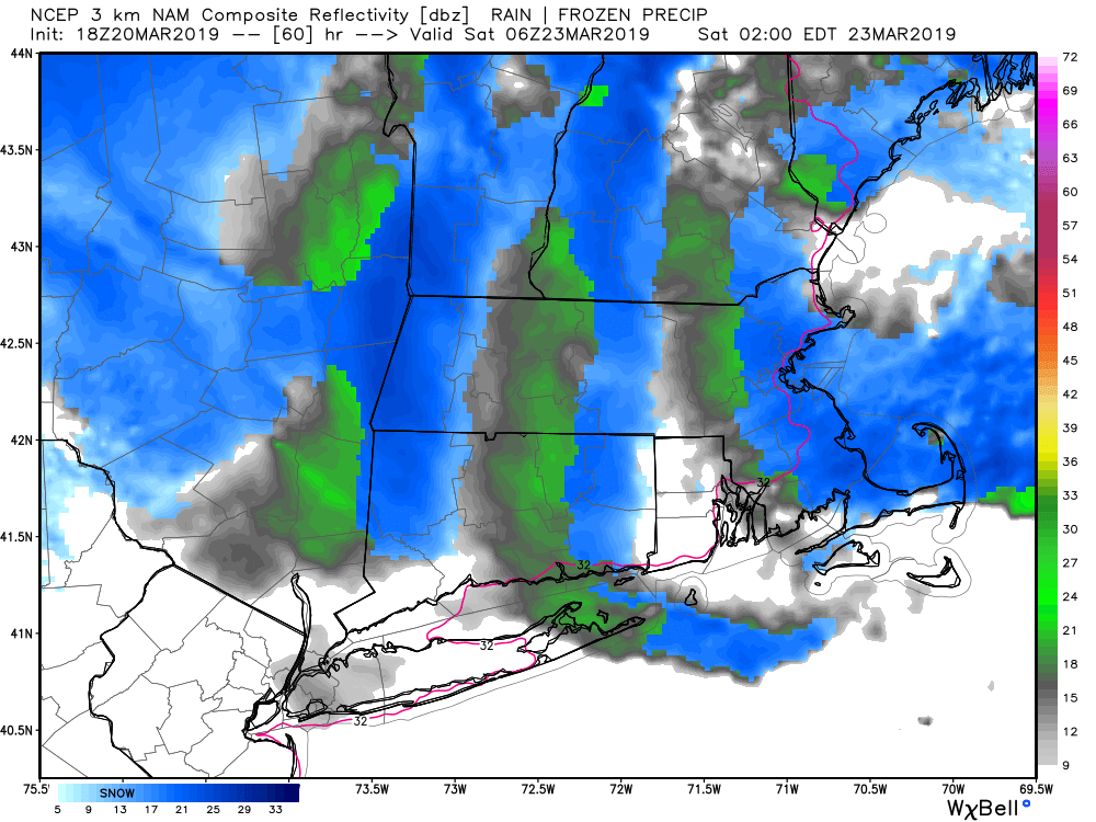
Colder air wraps around the storm late Friday night into Saturday morning, and a few flurries or snow showers cannot be ruled out – especially inland. I do not expect any real impact from the possible snow showers/flurries because the temperature will be above freezing and the precipitation will not be heavy. Saturday looks quite windy, with gusts over 35 mph likely. It will be chilly with temperatures climbing from the 30s to the low-mid 40s, but feeling colder because of the strong winds.
The winds relax and it quickly warms into the 50s on Sunday for a nice change of pace. It should be a fine day. Monday will start mild, but turn colder late with dry skies likely and a northwest breeze developing. It looks chilly in the middle of next week, and there is a slight chance of precipitation late Monday into Tuesday. Right now, I’m leaning towards it staying dry.


