March 29 – Mild Saturday; Rain arrives Sunday
After a few cool days, the temperature got back on the mild side Friday afternoon. A few light showers moved through part of Southern New England, but it was by no means a rainy day. The good news is Saturday looks a bit brighter and milder. Unfortunately, it will not last through the weekend.
Look for early clouds and fog on Saturday giving way to some sunny breaks midday into the afternoon. The temperature will likely reach 60 degrees inland while staying in the 50s near the coast due to a 10-20 mph southerly breeze. It stays quite mild Saturday night. Lows will be in the mid to upper 40s. Patchy mist and drizzle is possible, especially in RI and SE MA, late Saturday night into early Sunday.

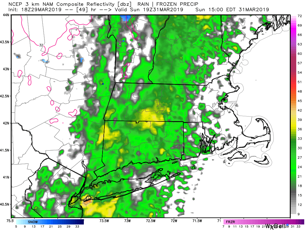
Showers move from west to east across Southern New England on Sunday afternoon. The first showers will likely reach western CT 11 am – 12 pm, and eastern CT through RI and SE MA between 1 pm – 3 pm. Showers may end in western CT by sunset, but they will continue into the evening in RI and SE MA. It will be in the 50s on Sunday, but I would not call it a warm day since there will be showers around and thick cloud cover. If the rain timing slows a bit, there may be some nice conditions around midday because the temperature could get close to 60 if the rain holds off.
It will be considerably cooler early next week. Look for highs in the 40s on Monday and Tuesday. Both days will be dry with some sun. A storm developing off the East Coast may bring rain/wind late Tuesday night into Wednesday morning. The trend over the last couple of days is for this storm to come a bit closer than previously projected.

Dry weather is likely late next workweek before another storm threatens as we head into the weekend. The overall theme is for near to above normal temperature at the end of next week into the second week of April.


