The first 10 days were mainly dry in Connecticut, but wetter than normal in Rhode Island and Southeastern Massachusetts. It looks like the middle third of the month will be wetter than normal across the board. An active storm track will bring three storm systems through the Northeast in the next 10 days. Before the first front arrives Friday night, the weather will be dry and seasonably cool for the end of the workweek.
After a high near 50 with sun/clouds and a fresh breeze, the temperature will dip into the low to mid 30s Wednesday night under mainly clear skies. Thursday looks decent, but slightly cool for mid-April with highs int he low to mid 50s. The wind will shift from the northwest to the south in the afternoon. Thursday night does not look as chilly, with lows in the upper 30s.
Clouds increase on Friday, but it should stay dry through the day. The wind picks up out of the south-southeast, and highs will be in the 50s. A front passing by Friday night into Saturday morning brings rain showers. It looks like there will be 0.15-0.3″ of rain between midnight and noon on Saturday. The best chance of showers lingering into late Saturday morning is near the coast, and particularly in Southeastern Massachusetts. It will be dry and mild in the afternoon, with the temperature reaching the upper 50s to low 60s with late-afternoon sunshine.
Expect it to stay mild Saturday night. Lows may be in the 50s Sunday morning, and the best part of the day will be before mid-Afternoon. The high temperature will be in the 60s, and could touch 70 if the sun hangs on for a while. Clouds thicken late in the day, with showers possible by sunset.
We are still looking at wet weather between Sunday night and Monday. The timing is speeding up a little, and that could be good news for Boston Marathon runners, spectators and volunteers. It’s possible that the heaviest rain will fall before the race, but I still expect some rain during the race. A few thunderstorms cannot be ruled out in Southern New England on Monday as the dynamic storm system moves through. It will be mild near the coast with temps in the upper 50s to 60s. It is uncertain how far north the mild air will get. Right now, I think it could break into the 60s through most of CT, RI and SE MA. The shower threat winds down Monday afternoon, and the middle of next week looks dry.
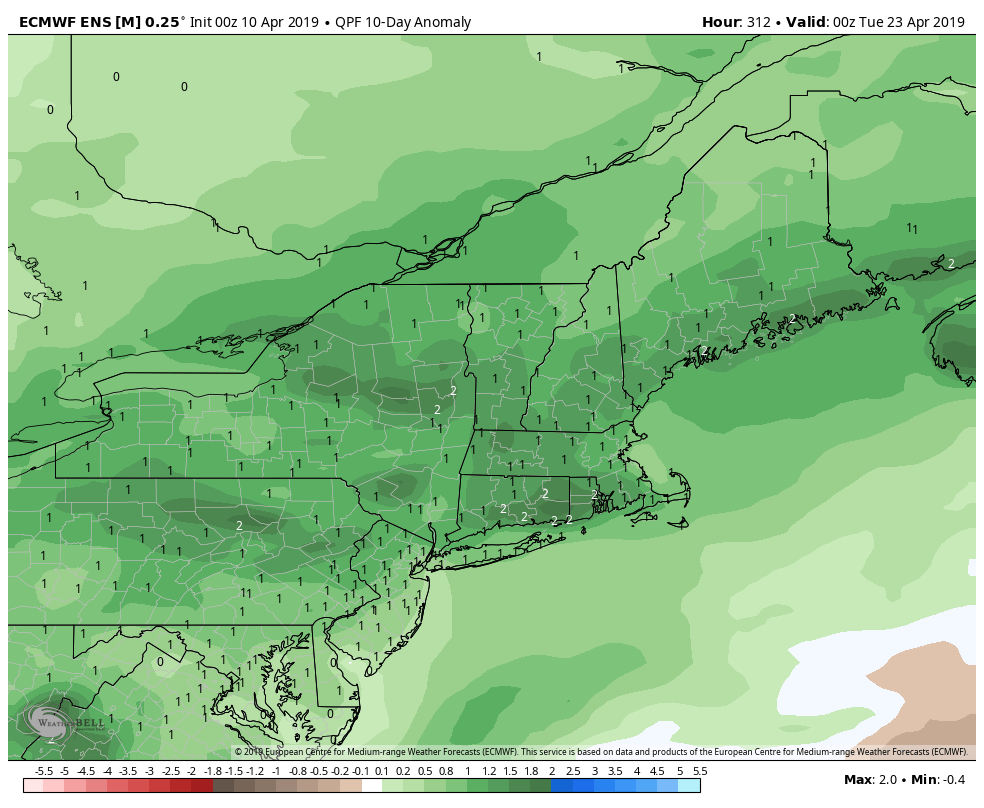
There is a good chance of another storm system arriving late next workweek with a decent dose of rain. While the Friday night front will bring relatively light rain, the Sunday night into Monday and late-week storms could bring steady/heavy rain. It looks like the lawns will be greening up quickly this spring.


