The storm system slowly moving from west to east across the country will get close enough to bring more showers on Saturday and part of Easter Sunday. The best chance of steady rain on Saturday morning is in Connecticut. Some models are predicting upwards of a half-inch of rain before noon on Saturday in western and central Connecticut. Showers are possible in Rhode Island and Southeastern Massachusetts in the morning, but it may not be steady all morning.
The axis of steadier rain shifts east in the afternoon and at night, and that means RI and SE MA have a better chance of rain at that time. It will not be particularly cool Saturday or Saturday night, with temperatures holding in the 50s to low 60s. Fog is possible near the coast.
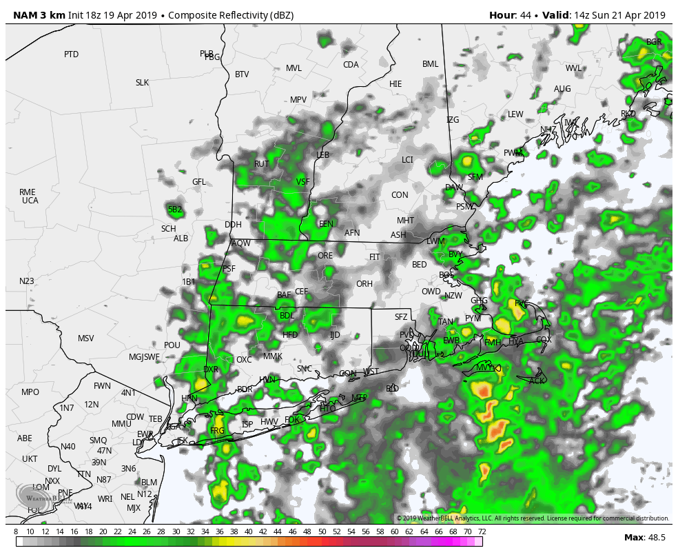
Showers will linger on Easter morning, especially in Rhode Island and Eastern Massachusetts. There’s a better chance of dry weather in the afternoon, but the ground may be too soggy for any outdoor egg hunts. Enjoy any dry weather we get on Sunday afternoon because there is more rain on the way for early next week. Showers are likely on Monday and Monday night. Right now, Tuesday looks mainly dry with highs in the 60s.
A few showers are possible Tuesday night before mainly dry weather on Wednesday, and likely decent weather on Thursday. Another storm threatens with rain late next workweek. Plenty of April showers to go around this month!
Overall, the temperature will be at or above normal for the next week. Because of the often damp conditions, the low temperature will likely be above normal most nights.


