April 25 – Rain returns on Friday
The two day weather winning streak in Southern New England will end on Friday. Both Wednesday and Thursday were gorgeous spring days, but we’ll get right back into the unsettled April weather before the workweek ends.
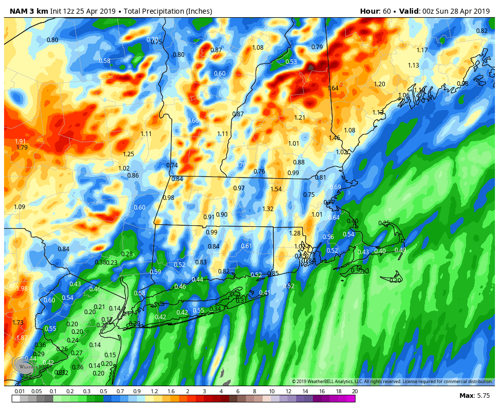
Showers are likely during the day on Friday. It will not be an all-day washout. Expect 0.2-0.4″ of rain in CT, RI, and SE MA between 7 a.m. – 7 p.m. Friday. The best chance of heavier rain is Friday night. If you’re going out Friday evening, you may run into some heavy downpours and possibly even thunderstorms. 0.5″ to locally 2″ of rain is possible Friday night.

The good news it that the storm will move away early Saturday, and it should be a mainly dry, but cool start to the weekend. A few showers may flare up Saturday morning, but widespread rain is unlikely. Expect the temperature to stay in the low 50s Saturday afternoon – that’s almost 10 degrees below normal for this time of the year.
The second half of the weekend does not look great. A fast-moving storm system will bring clouds early Sunday, and showers are likely by midday and through the afternoon. It will not be heavy rain, but it also does not look like a great day for outdoor activities. Expect highs in the 50s.
Looking ahead to next week, Monday looks dry and seasonably cool. Yet another fast-moving system could bring rain for part of Tuesday. If this was January, the Sunday and Tuesday systems would be 3-6″ Alberta Clippers. Dry weather likely returns on Wednesday with high temperatures not far from normal – near 60.
April has already been a wetter than normal month, and we will add on to the totals this weekend. The early signs are that May could begin with more rain on Thursday. Here’s hoping that storm clears out and leaves with a nice first weekend of May.


