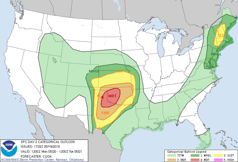
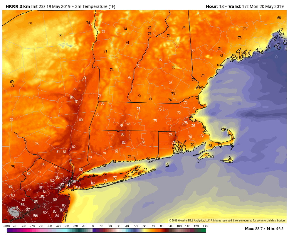
The workweek begins with warmer than normal weather on Monday. A nearby front could bring a few showers or thunderstorms – especially early in the day and late in the day. Most of the day will be dry with highs flirting with 80 inland and closer to 70 at the coast with a south-southwest breeze. Scattered thunderstorms are possible late Sunday night until around dawn on Monday. Another scattered thunderstorm threat develops late in the day and during the evening – especially in northwest Connecticut where there is a slight risk of severe weather.
The cold front that brings a broken line of showers and thunderstorms through Southern New England late Monday will be offshore by early Tuesday. Look for dry and pleasant weather in the midweek. Highs will likely be in the 60s on Tuesday and Wednesday with partly sunny skies.
A pair of disturbances moving through late in the workweek could bring scattered showers. Right now, it looks like the best bets are Wednesday night and Thursday night, with mainly dry weather during the day on Thursday and Friday. Highs will be in the 60s to low 70s both days.
Warmer weather slides into the Northeast for part or all of the Memorial Day weekend. It’s early, but it looks like it will be in the 70s on Saturday and possibly 80s inland on Sunday and Monday.
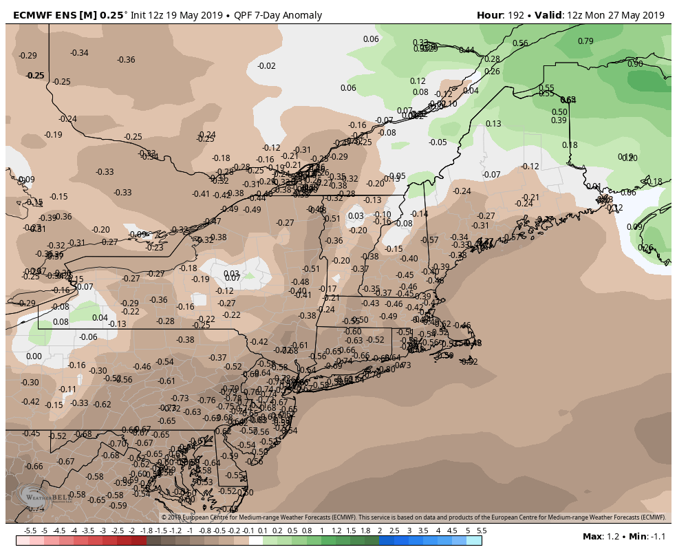
Even though there will be a few showers around at times in the next seven days, the overall theme is for drier than normal weather. The kind of organized large storms that have brought soaking rain and sometimes cool weather this spring are likely not in the cards for the next week.