The unseasonable “chill” that we felt on Wednesday will ease during the end of the workweek. The temperature did not get out of the mid 50s on Wednesday in the Providence area, making it one of the coldest late-May high temperatures on record. Rain was rolling through Connecticut late Wednesday afternoon, and some of those showers will move through Rhode Island and Southeastern Massachusetts during the evening. The locally heavy downpours could produce more than a half-inch of rain in some towns. Rain should be out of the picture before dawn.
There may not be too much sun on Thursday, but it looks a bit milder with highs between 65-70 degrees. Another round of rain with possible thunderstorms rolls through Thursday night. The workweek will end with decent weather on Friday. There should be a nice dose of sunshine with highs in the 70s. It will not be humid.
The weekend dawns with clear and cool weather on Saturday. An afternoon sea breeze combined with some clouds will keep the temperature from getting too far above 70 on Saturday afternoon. The breeze will knock the temperature back into the low to mid 60s near the coast during the afternoon.
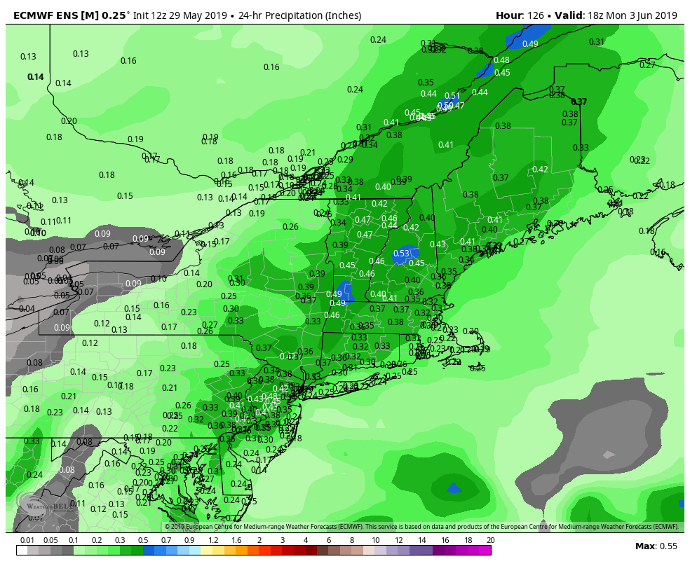
Saturday looks like the pick of the weekend as a front approaches from the west on Sunday. There is a better chance of rain in Connecticut than in Rhode Island and eastern Massachusetts on Sunday. In addition to the front west of New England, there may be an offshore storm to watch. If it’s closer to the coast than currently projected, than there’s a better chance of rain in eastern New England. Even if it stays dry, it’s unlikely to be completely sunny, with temperatures likely in the 60s coast to 70s inland.
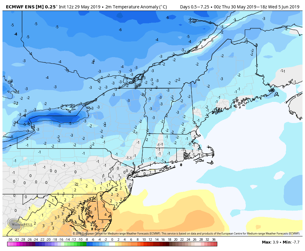
The weather will likely be slightly cool or near normal most days between Thursday and the end of next week. I do not see a pattern that brings extended mid-summer heat to New England anytime soon. Personally, I like a pattern that keeps the heat and humidity away before summer begins. The normal high is in the mid 70s and the normal low is in the mid 50s for the next 10 days. If we’re near normal, that’s not bad at all!


