May 31 – Hot weather staying away for now
A spring weather pattern devoid of scorching heat in New England continues into early June. It’s not highly unusual to see at least a day or two of 90 degree heat inland at this time of the year, but it’s certainly not the norm. A weather pattern with near normal or relatively cool weather will not change much in the next 10-14 days. That means highs most days will be in the 70s with lows in the 50s. There will be a couple of days where it may not get out of the 60s with comfortably cool lows in the 40s.
Expect it to stay mainly dry through the weekend. A line of showers over far western New England and the Hudson Valley will have a hard time advancing east until late Sunday. Highs will be in the upper 60s to mid 70s both Saturday and Sunday, with the warmest conditions away from the coast. An onshore breeze will bring in cool air near the coast both Saturday and Sunday afternoon. The best chance of mostly sunny skies is also inland on Saturday. Clouds will move in from the south to north during the afternoon. Sunday looks partly cloudy, with the best chance of showers after sunset in the evening.
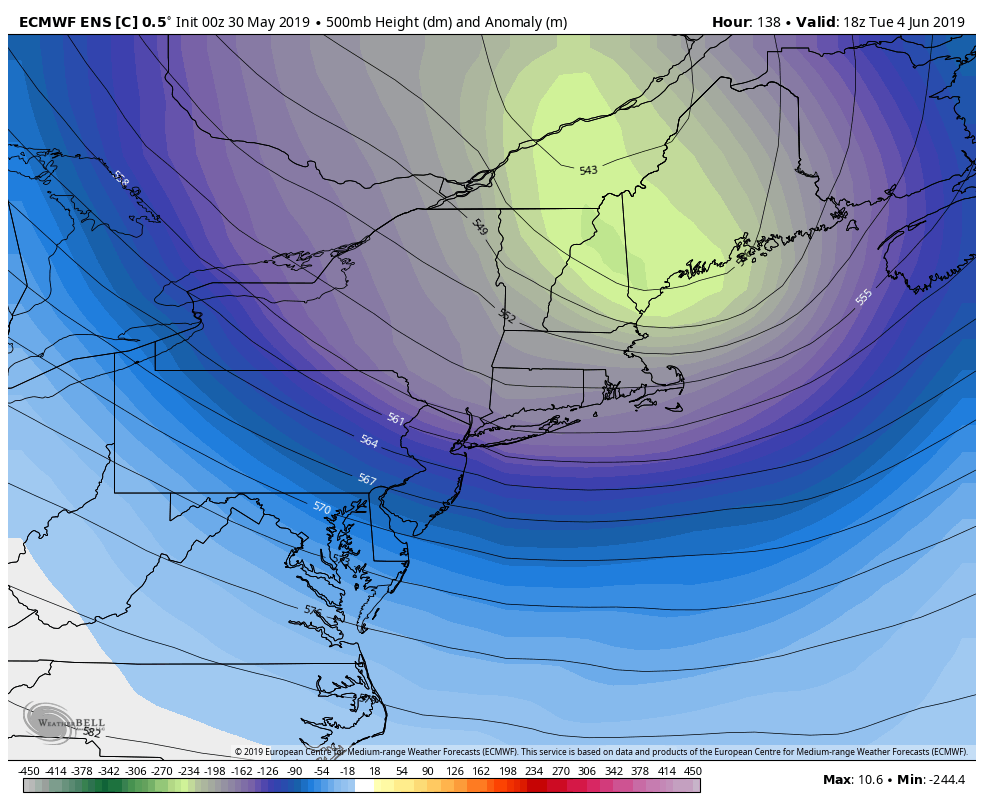
Rather chilly air at upper levels of the atmosphere moves over New England early next week. I wouldn’t be surprised if a few flakes flew in the mountains of Northern New England sometime between late Monday and early Wednesday! In Southern New England, it will be 5-10 degrees cooler than normal, and overall pretty pleasant. Expect highs in the 60s with lows in the 40s and partly cloudy skies. A pop-up shower with small hail cannot be ruled out in the afternoon – especially on Tuesday.

It gradually warms in the mid to late workweek. Expect the high temperature to be back into the 70s Thursday and Friday, and it may touch 80 inland. Overall, however, it does not look like the pattern will get much warmer than that through next weekend. A front moving through in the Wednesday-Thursday time frame could bring scattered showers.


