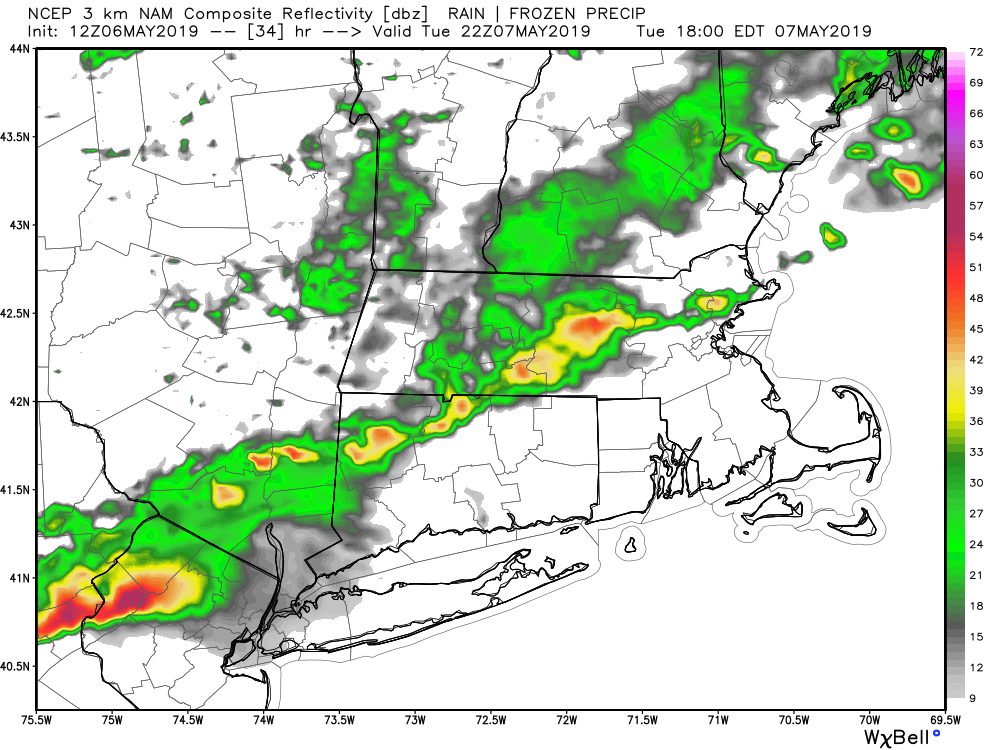
May 6 – Scattered PM showers/storms Tuesday
How nice was it to see the sun again on Monday? It was a great reminder that when the sun shines, New England is a beautiful place to be in the spring. It looks like we’ll get more sunshine for a while on Tuesday before clouds arrive ahead of a cold front that will bring scattered showers and thunderstorms – mainly inland.

The high temperature on Tuesday will range from the low 60s near the coast to near 70 inland. The first threat of showers and thunderstorms is not until after 2 pm in northwest CT, and closer to 5 pm in the I-95 corridor from coastal Connecticut through Rhode Island. Severe weather is unlikely, but there could be a few decent downpours (especially inland) in the late afternoon or early evening. The rain threat ends by 8-9 pm in CT, and by 9-10 pm in Rhode Island and eastern Massachusetts. The showers and any thunderstorms should weaken as they move south closer to the ocean.
Dry and slightly cooler weather follows for Wednesday. Look for highs in the 60s with a blend of clouds and sun. A storm system approaching on Thursday will bring clouds, but there may not be many showers before Thursday night into Friday. It will be cooler on Thursday with highs in the 50s coast to low 60s inland.
Showers are likely Friday. A gusty southerly wind will develop ahead of the the front that will pass through Friday night. The shower threat ends before dawn on Saturday. Expect highs in the 50s to low 60s on Friday.
Saturday looks like the pick of the weekend with mostly sunny skies and highs in the mid 60s. Clouds thicken on Mother’s Day, and it turns cooler with highs in the 50s. Rain is possible by late Sunday. There’s a better chance of rain Sunday night into Monday. It’s early, but next Monday could be wet and raw with temperatures only in the 40s – ouch!


