Very humid weather arrived with scattered showers and a few rumbles of thunder on Thursday. The shower/storm threat continues through the night into Friday morning – with a lower risk of t-storms Friday morning. Most of the showers should move out of the picture around midday Friday, and there may be some breaks of sun in the afternoon as the wind shifts to the northeast then northwest ushering in less humid air for the weekend.

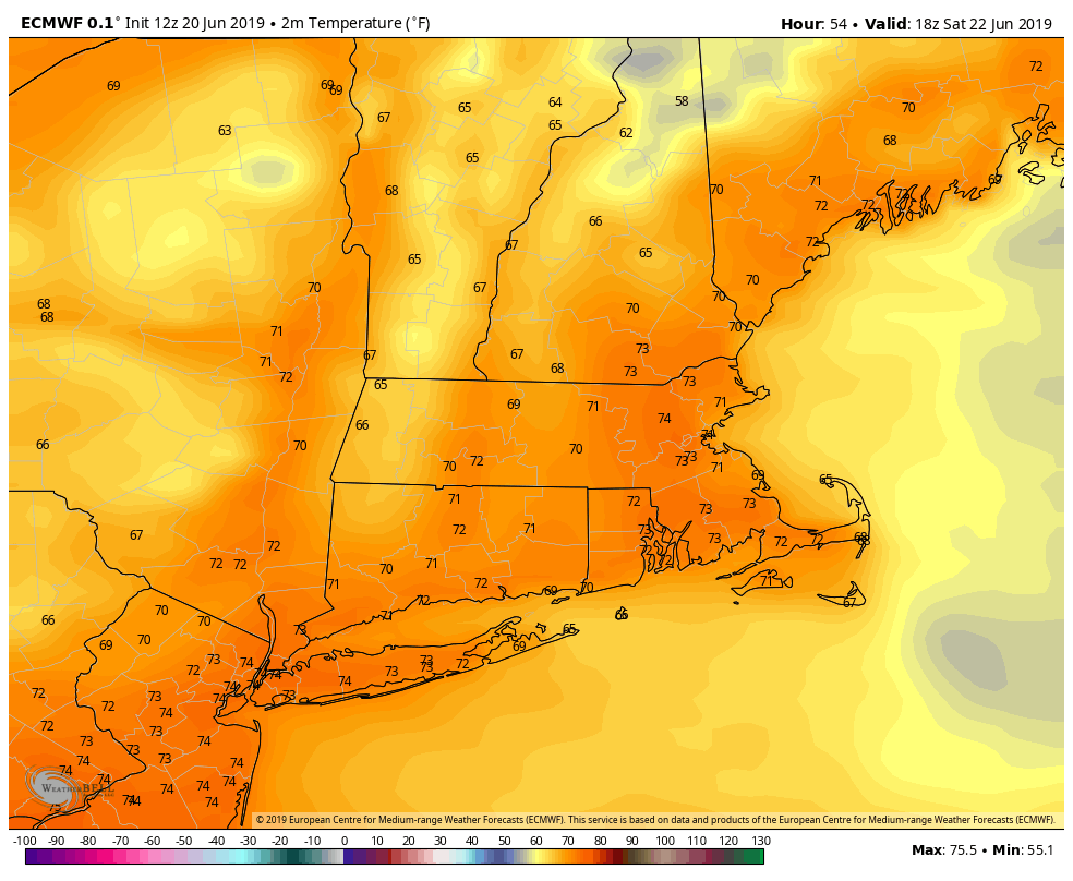
Saturday will be a decent day with a blend of clouds and sunshine. There will be a gusty northwest breeze and low humidity. A pop-up afternoon shower cannot be ruled out with a disturbance passing through New England. Sunday looks fine with a nice dose of sunshine and highs closer to 80. A sea breeze will develop in the afternoon. It will not be very humid on Sunday, either.
The weather likely stays dry on Monday before a shower threat returns in the middle of next week. Once again, we could be looking at a wet Tuesday. It’s a theme that dates back a few weeks! Expect temps closer to 70 if there is rain on Tuesday. I’m am tracking drier weather and a warm-up for the end of next week. If everything comes together, the temperature may approach 90 inland by the end of the workweek.
The temperature has averaged near normal for the first 20 days of this month, but it will likely end a bit warmer than normal. The overall pattern, however, does not look conducive to a long hot stretch in late June and early July. It still looks like a progressive pattern that will bring some disturbances (rain) from time to time and varying levels of humidity.


