June 26 – Unsettled this weekend
Mid-summer warmth and humidity is in the forecast for the rest of the workweek. Highs will be well in the 80s Wednesday through Friday with partly cloudy skies and dew points likely in the 60s. It will be mild at night with lows in the low to mid 60s. There is a low risk of a pop-up shower on Wednesday afternoon in Rhode Island and eastern Massachusetts. Otherwise, you can expect rain-free weather through the end of the workweek.

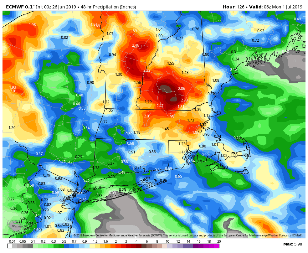
Unfortunately, it will likely not stay rain-free through the weekend. A disturbance approaching from the west may trigger showers and thunderstorms as soon as late Friday night, and a scattered shower/storm threat continues through the weekend. It looks like there will be longer dry stretches on Saturday than on Sunday. Saturday will be warm and muggy with temps in the low-mid 80s and dew points near 70. Some of the thunderstorms this weekend could produce torrential downpours, with the better chance of heavy showers on Sunday. It could be a very active weather day.

Neither day looks like a total washout, but if you have outdoor plans, I would make a contingency plan just in case. It is still early, but the best chance of rain on Sunday seems to be over eastern CT, RI and southeastern MA more than in the western half of CT.
Right now, the week of the 4th looks seasonable with highs ranging from the 70s on Monday to the 80s by midweek. The pattern may produce scattered thunderstorms around the 4th. That is certainly not unusual for this time of the year. The weather pattern looks a little warmer than normal for the first part of July. Long-range models are suggesting that may continue through the rest of the month.


