June 7 – Seasonable and dry weekend
Look for weather very typical of early June this weekend, and that’s a great thing for anyone with outdoor plans including graduation parties or sporting events. It will be warm enough, but not too hot, and the humidity will be low with a decent dose of sunshine both Saturday and Sunday.

The normal high temperature is in the low to mid 70s throughout Southern New England at this time of the year. The normal low is in the 50s. Both Saturday and Sunday will feature temperatures that are not far from normal. For my money, Saturday is the nicer day with full sunshine and a lower chance of a cooling sea breeze in the early to mid afternoon. Sunday will turn cooler with some clouds and an onshore breeze in the mid to late afternoon.

Unsettled Pattern Ahead
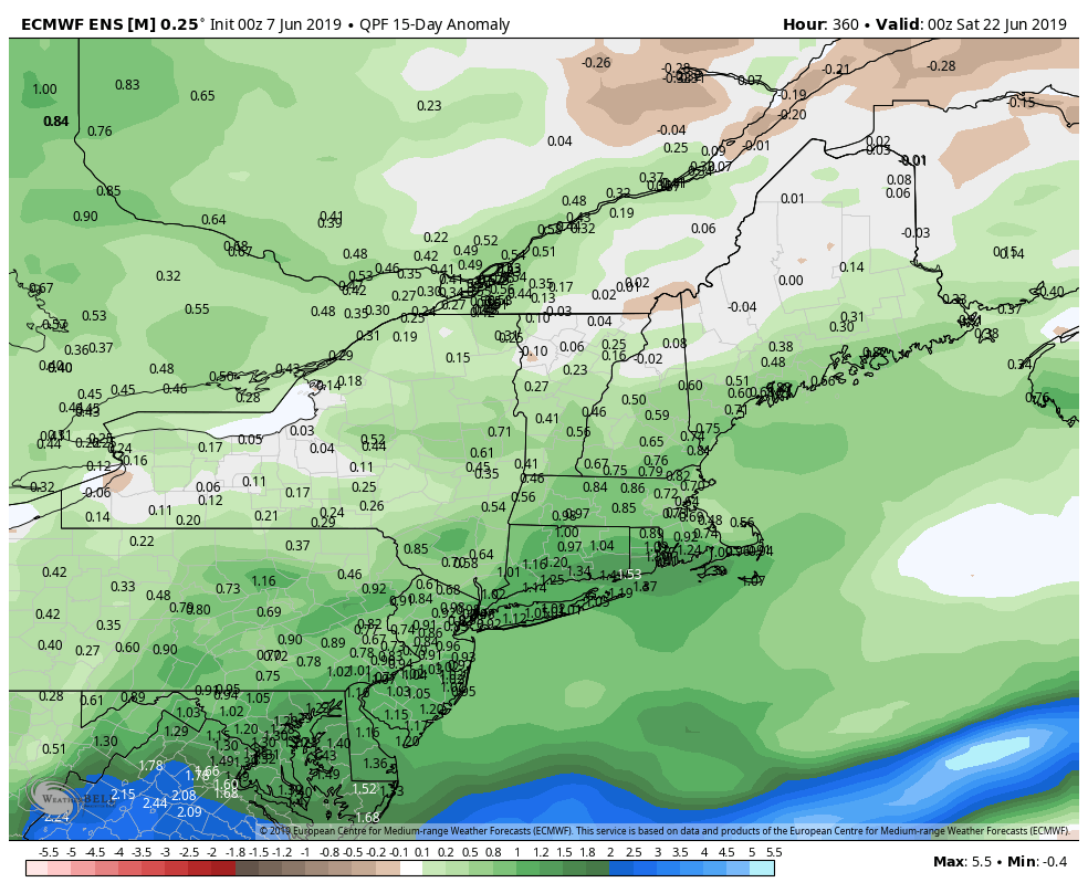
The weather pattern looks quite unsettled in mid-June. Some rain is likely late Monday into early Tuesday as a front passes through. A second storm system may roll through with more rain later in the workweek. There are some signs that there could be at least one more storm system on the way before summer begins in a couple of weeks. All told, the weather pattern looks rather wet through mid-June, with the potential for heavier downpours with both storm systems moving through next week.

Wet Start to Summer?
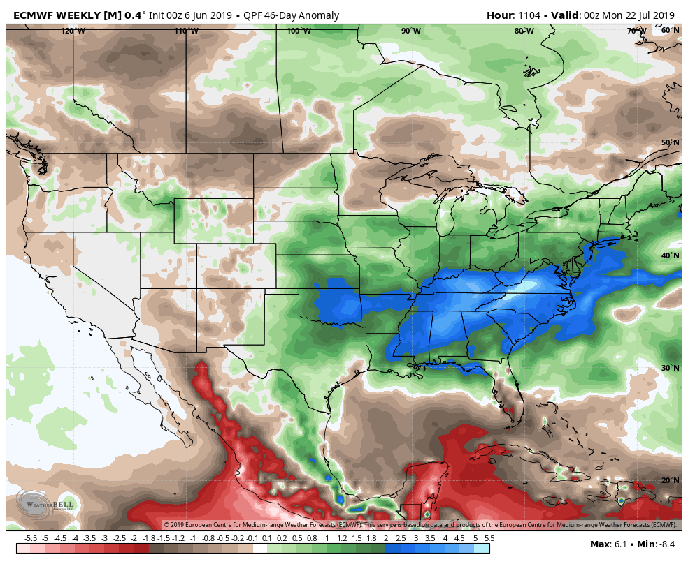
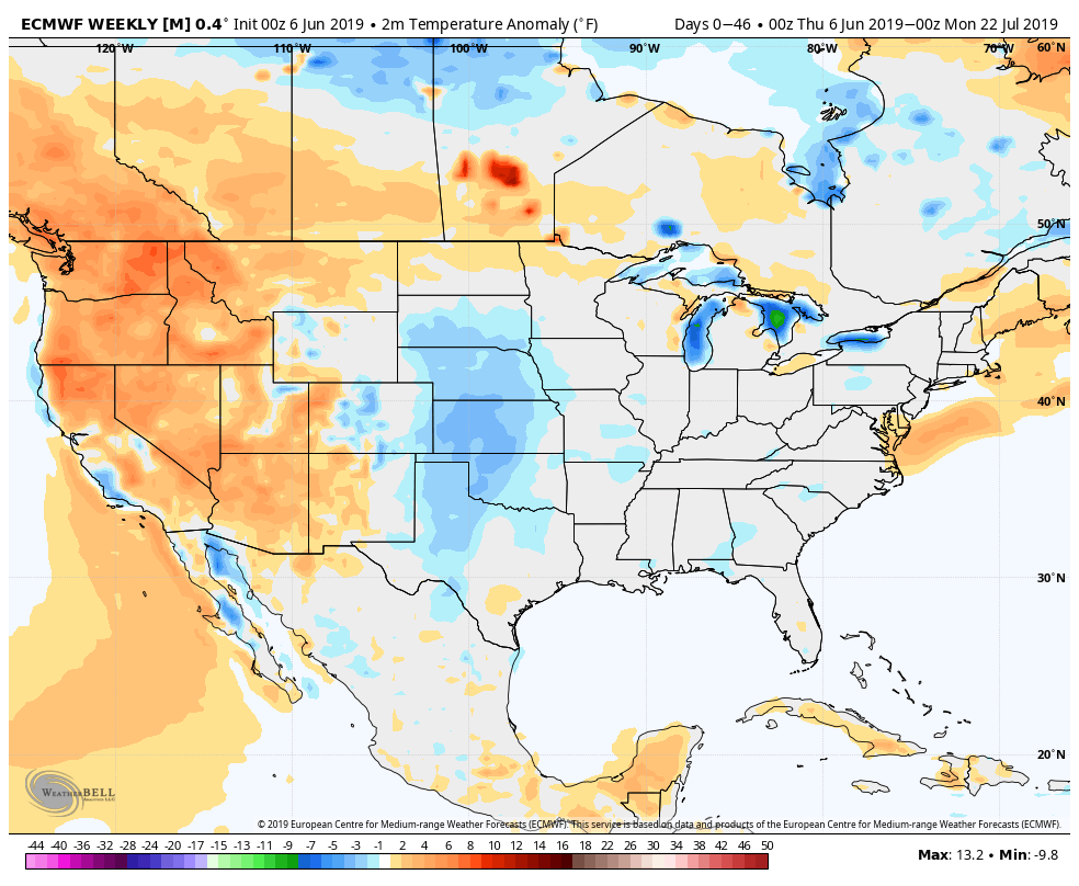
The long-range EPS model is projecting relatively wet conditions in the Eastern United States for the next six weeks. While it’s good news as far as drought is concerned, it may be more rain than Midwest and Southeast farmers bargained for, and could have an adverse impact on the growing season. It’s already an issue in the Midwest where a rainy spring has farmers behind schedule on planting the corn crop for this summer.


