This hot stretch in mid July is no surprise to Right Weather Pro members. We have been talking about it for a while now, and it is certainly coming to fruition. Hartford, CT has been one of the hotter places in Southern New England with an average high temperature of 91 degrees so far this month. Since 1905, only 1966 has seen an average temperature hotter than that through the first 17 days of the month. It will be getting even hotter this weekend, but, first, there may be flooding thunderstorms in some towns over the next couple of days.

(NOTE: This was expanded to include all of Connecticut)
Wednesday was the 12th out of 17 days to reach 90 this month in Hartford. It is also extremely humid. At the same time, what is left of Barry is caught in the jet stream and moving east. It is not a very organized system, but with all the water in the air and hot temperatures creating instability, the potential exists for flash flooding later today and Thursday – especially in the morning. Look for scattered downpours and thunderstorms Wednesday afternoon through most of Thursday. As expected, the computer models are having a difficult time with the localized nature of the storms, and it is impossible to pin down exactly who will get the heaviest rain. The potential exists for two inches of rain in just an hour in any storms that develop.
Thursday will likely be the coolest day of the month so far with highs in the upper 70s to low 80s because of the cloud cover. It will not be much less humid, with dew points ranging from the mid 60s to near 70. The shower/storm threat diminishes in the afternoon/evening, and dry skies are likely by Friday morning.
Extreme weekend heat in Southern New England
It will not take very long for 90+ heat to return to Southern New England. Inland areas may get back to 90 as soon as Friday afternoon, and it could approach triple digits inland for at least one day this weekend. Right now, Saturday looks like the hottest day with a temperature between 90-100 from the coast to inland areas, and feels like conditions in the 100-110 range. The dew point could be in the mid 70s Saturday morning, and that will have it feeling like 90 by 8-9 am as the temperature quickly reaches the mid 80s. Take it easy if you are planning any outdoor activities!
It may not get much below 80 in the cities Friday and/or Saturday night. The temperature soars again on Sunday. It should be dry most of the time this weekend, but afternoon t-storms cannot be ruled out either day. There is a better chance of catching a storm Sunday afternoon.

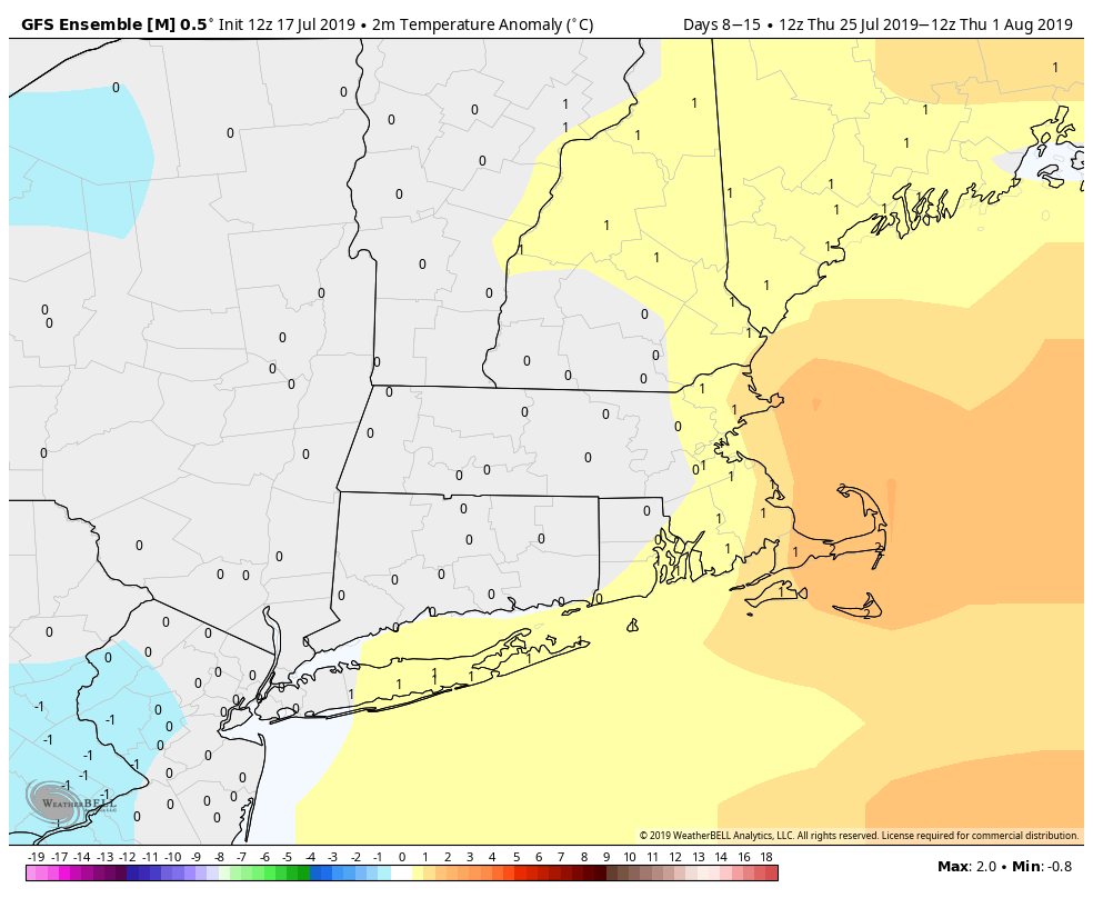
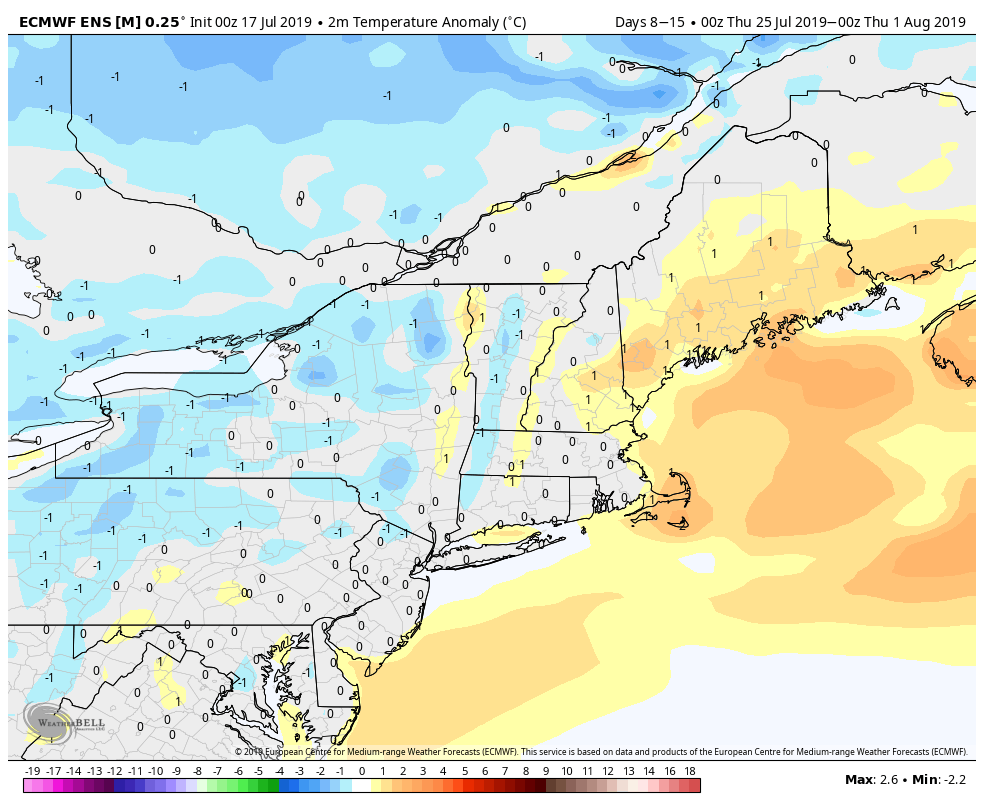
I expect the heat to break early next week, and the last week of July does not look nearly as hot as the early and middle part of the month. If the temperature is near normal, it may be enough to prevent this month from being one of the hottest on record in Southern New England. Through the first 16 days, it is in the top-5 hottest in Boston and Hartford, and 12th hottest in Providence – and that is before the big-time heat arrives this weekend!