A scorching heat wave that made it feel like 105°+ over the weekend will break on Monday with showers and thunderstorms potentially bringing locally heavy rain between Monday afternoon and midday Tuesday.
It will turn a bit less humid Sunday night into Monday. There is a decent chance that it stays mainly dry through noon on Monday. The temperature will climb into the 80s on Monday, but most likely not reach 90° before it gets cloudy and rain threatens. The heat wave will likely end at three days.

Any thunderstorms that develop Monday afternoon through midday Tuesday could produce locally heavy rain and flash flooding. It will be noticeably cooler on Tuesday with a northerly breeze. The temperature may be in the 60s for most of the day.
Some sunshine returns for Wednesday and the humidity will stay relatively low for late July. Look for highs back close to 80° on Wednesday.
Warming up again late in the week
The trend is for a gradual warm-up with increasing humidity late in the workweek through next weekend. We may not get back to the scorching heat that we saw this weekend, but high temperatures will likely climb above normal by Thursday or Friday afternoon. It could get back to 90 next weekend – most likely on Sunday.

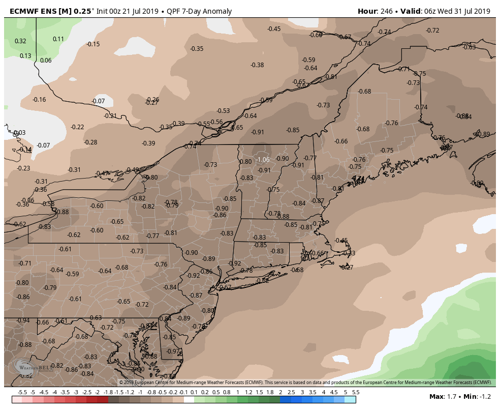
It also will be relatively dry after the frontal system brings rain Monday/Tuesday. In fact, there could be a week or so without any rain from midweek to midweek.