July 29 – Hot and humid end to July
There is a high likelihood that this July will go in the books as the warmest on record in Boston and Hartford, and it will be in the top 10 at many other climate sites in Southern New England. Fittingly, the month will end with a heat wave inland that began on Sunday and will last through at least Tuesday and most likely Wednesday – the last day of July.
An isolated shower or thunderstorm cannot be ruled out Monday and Tuesday with hot and humid conditions – warmest inland. Highs will reach the low 90s inland, but feel like the mid to upper 90s because of the high humidity. Tuesday looks hotter than Monday. It will be in the mid to upper 80s near the coast.
There is a better chance of showers/storms late Wednesday into Wednesday night as a front that will eventually lower the humidity approaches from the west. It may be a broken line of storms that does not bring widespread rain. Any storms that move through, however, could contain torrential downpours.

Less Humid Late Workweek
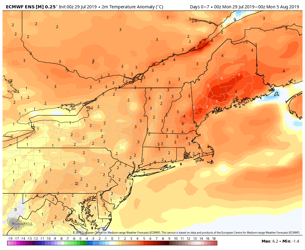
The front will move offshore early Thursday and it will briefly turn less humid Thursday afternoon through Friday. It may stay somewhat comfortable inland on Saturday, but it will likely get muggy again near the coast. Of course, that’s not unusual for early August! The temperature will be in the 80s Thursday through Saturday before possibly getting back to 90 on Sunday. The hot weather will likely continue early next week with a three-day heat wave possible Sunday to Tuesday. Assuming this current stretch reaches heat wave status by this Tuesday, next week would be the fourth heat wave in a month for some locations.


