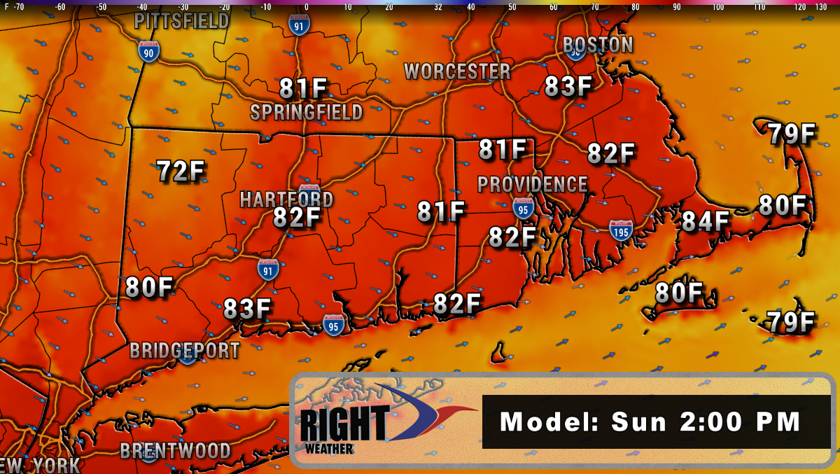
Scattered thunderstorms ahead of a cold front will move offshore by late Friday evening. The air behind the front is not much cooler, but it is less humid, and that is what we will enjoy over the weekend. Look for highs in the 80s both days with plenty of sunshine. Dew points will be in the 60s on Saturday and may fall to near 60 on Sunday. That is a lot more comfortable than the 70+ dew points we saw in the past few days.

Quiet weather continues early next week. It will not be very humid until the midweek. Both Monday and Tuesday look great with highs in the 80s and lows in the 60s. It may reach the 90s on Wednesday, and will likely get more humid. The remnants of Barry could bring showers and thunderstorms late next week. There is also another disturbance coming out of Canada that brings a similar threat. The bottom line is it looks potentially unsettled between Thursday and Saturday. As we have seen over the past couple of days, there is a lot of water in the atmosphere over Southern New England in the summer, and locally heavy rain is a threat.
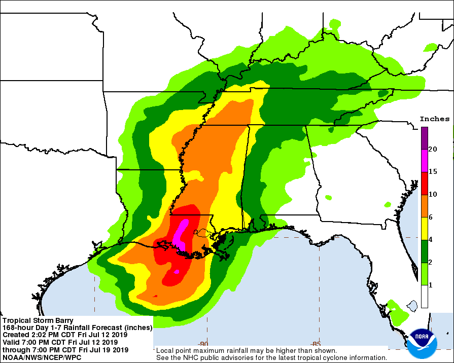
Speaking of locally heavy rain, Barry will move inland as either a strong tropical storm or hurricane on Saturday morning. Landfall is likely in Louisiana, west of New Orleans. The Big Easy will not bear the brunt of the storm. It looks like Baton Rouge may get the worst of it – at least as far as flooding rain is concerned. 10-20″ of rain is possible as the storm slows its northward movement once it gets inland.
The rest of the summer
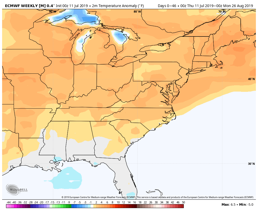
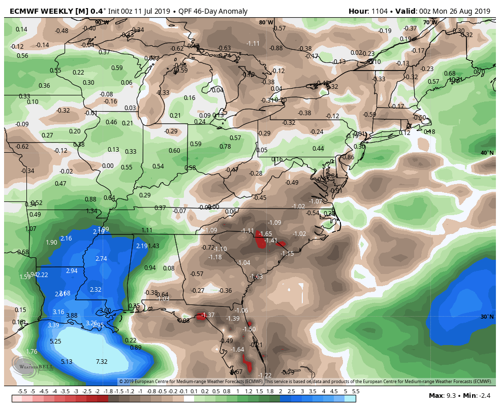
The latest European model weeklies suggest relatively warm weather in the Eastern United States through August. This may not manifest itself as extended heat waves, but could be an indication of muggy weather keeping overnight low temperatures well above normal. The model also predicts near normal precipitation in New England, but as we saw earlier this week, the rainfall distribution in summer is not exactly even throughout Southern New England. For example, Plymouth, MA received a month and a half worth of rain last night. Other parts of Eastern Massachusetts got very little rain.