August 12 – Rain likely Tuesday; Heat may return late-August
The workweek started with a warm Monday afternoon. Temperatures reached the low to mid 80s without high humidity. It will get muggier overnight as the wind shifts to the southwest. After a couple of nights with low temperatures in the 50s to low 60s, it will stay in the mid to upper 60s tonight.

The weather may stay dry through most of Tuesday morning before rain develops from midday into the afternoon. Heavy downpours are possible, and right now it looks like the heaviest rain potential is along the coast. Some models are predicting around 2″ of rain in the hardest hit areas. There will be a lot of water in the clouds overhead, so some locally higher amounts cannot be ruled out. I think most areas will be between 0.5-1.5″ of rain between Tuesday afternoon and Wednesday morning. The highest likelihood of getting 2-3″ of rain is east of New Haven, CT to Cape Cod including the southern half of RI.
The rain threat diminishes by early Wednesday. Clouds may linger for a bit, and the high on Wednesday will be in the mid 70s to low 80s – about normal for mid-August. It is a close call with another storm system Thursday-Friday. Right now, it looks like a minimal impact with some clouds, but not much rain. The temperature may stay in the 70s during the afternoon late in the workweek.
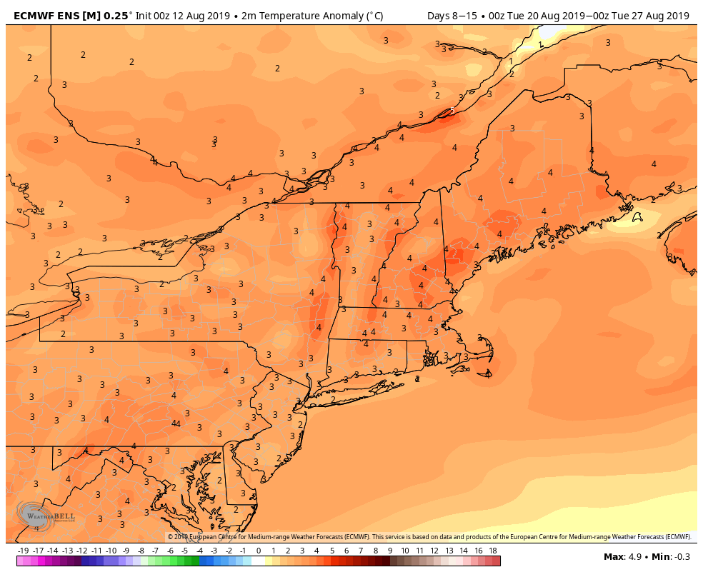
Pop-up showers are possible on Saturday with highs in the 70s again. A brief warm-up is possible between Sunday and Tuesday before it turns a bit cooler in the middle of next week. Computer models are still showing above normal temperatures after August 20th, but keep in mind that we are about a month past the warmest part of the year, so 5-7° warmer than normal is not nearly as hot as it was in July.


