August 23 – Cool weather pattern; Tropical system(s) offshore
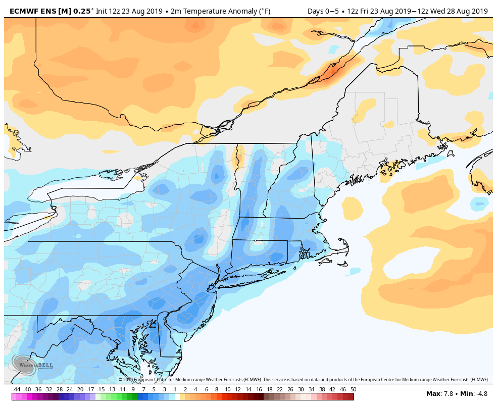
Cooler air arriving on Friday offers a preview of what we’ll see over the weekend and early next week. The temperature may not eclipse 80 degrees for several days on the heels of seeing 2-3 days in the 90s this week. A northeast breeze will dominate the weather pattern into next week, and that will have it comfy at night and relatively cool during the day.

Expect a pleasant Saturday with lows in the 50s to near 60, and highs in the mid to upper 70s under mostly sunny skies. Sunday should feature more clouds, and there could be some drizzle and showers in RI and E MA – especially in the morning. Highs will only be in the upper 60s to low 70s in most of RI and all of CT. It may be even cooler than that in E MA.


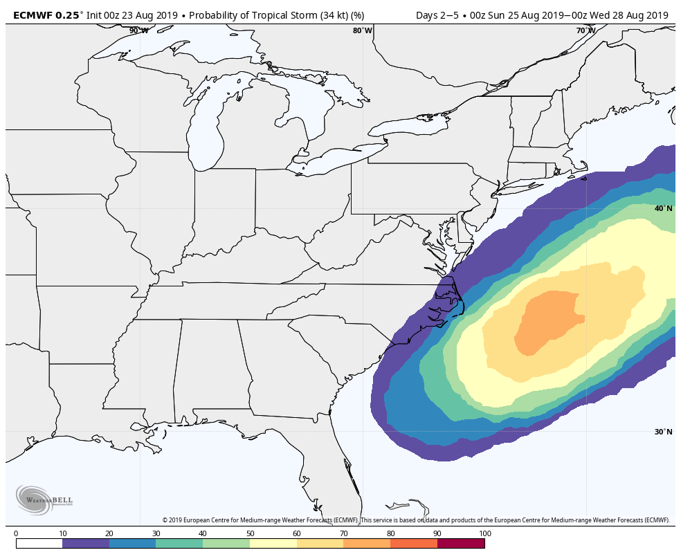
The tropics are heating up with a disturbance near south Florida likely becoming tropical storm Dorian in the next few days as it moves north along the Southeast US coast. The storm will most likely head out to sea with little to no impact for the Southeast or Mid-Atlantic. It will help to keep the wind coming out of the northeast into the middle of next week, and that will prevent a warm-up.


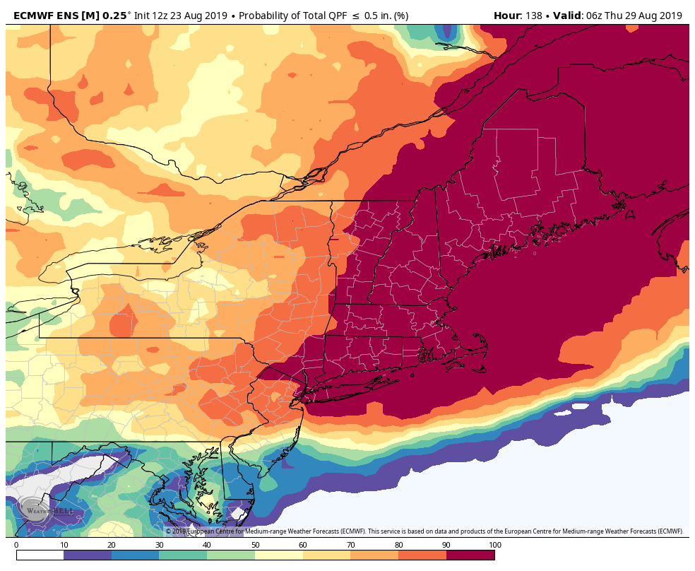
The front that steers the storm out to sea may bring some midweek showers to Southern New England. In the long-range, fair weather is ahead for the end of next workweek. It may get a bit warmer heading into next weekend.


