August 3 – Potentially unsettled week ahead
The weekend will end with a blend of clouds and sun on Sunday. A pop-up shower cannot be ruled out in southern RI and southeastern MA. The temperature and dew point will not be far from normal on Sunday. Look for highs in the upper 70s to mid 80s – warmest inland. The dew point will be in the low to mid 60s.
It will turn less humid Sunday night into Monday. Expect great weather on Monday with highs near 80 at the coast and in the mid 80s inland. It will not be terribly humid. There should be a ton of sunshine on Monday.

Shower Threats Mid to Late Workweek
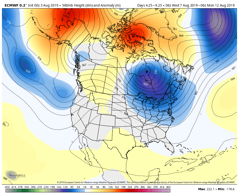
There will be a series of disturbances that pass through New England between Tuesday afternoon and Friday afternoon. A slow-moving area of low pressure over Eastern Canada will send spokes of energy spinning through the Northeastern United States. It is a close call with showers on Tuesday as another disturbance moves off the Eastern Seaboard near the Mid-Atlantic coast. If that one misses, then you can expect a muggy and seasonable day. If it comes a bit closer than currently projected, then showers enter the mix.

At this point, it looks like the best chance for scattered thunderstorms in the mid to late workweek are Wednesday afternoon and Friday afternoon. It will be muggy from Tuesday through most of Friday. The dew point near 70 will keep it mild at night, too. Highs will be in the 80s, with the best risk of storms in the afternoon following some daytime heating.
While the upper low over Canada will likely lead to scattered showers and thunderstorms on at least two days next week, once it gets east of New England, there should be a stretch of pleasant weather. Right now, next weekend looks fine with lower humidity and comfortably warm temperatures in the 50s/60s at night and 70s to low 80s during the day.


