Strong to severe storms rolled through Southern New England Wednesday and Wednesday night. The heavy storms produced areas of isolated tree damage and flash flooding as they came in bunches from the afternoon through most of the night. Thursday looks quieter without much of a shower/storm threat until late in the day. Another round of thunderstorms is possible from west to east from about 6 pm through midnight as a cold front passes. It looks like most of the action could be north of CT, RI, and SE MA.

It will be warm and humid on Thursday with highs in the mid to upper 80s. The front that brings the scattered shower/storm threat in the evening will open the door to less humid air for the end of the workweek and the weekend. In fact, the weekend will have a decidedly late-summer feel with lows in the 50s to low 60s and highs near 80.

Fine weather continues early next week before a disturbance threatens with showers/storms in the midweek. It’s early, but it looks like late Tuesday into early Wednesday is the best bet for some rain. The overall theme through mid-August will be for near normal temperatures without very high humidity. It looks like a mainly pleasant stretch of weather.
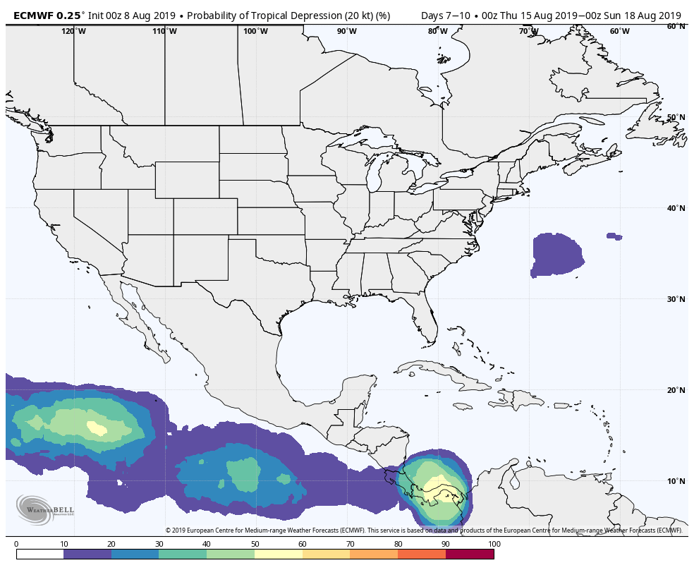
The tropics are still quiet, and that is not likely to change much in the next 10 days or so.