September 14 – Quiet stretch ahead; Humberto likely out to sea
Tropical Storm Humberto will bring a glancing blow to the Bahamas as it moves north today. The center of the storm is located east of the Abaco Islands that were devastated by Dorian weeks ago. Thankfully, most of the rough weather with Humberto is located on the eastern side of the storm, and the impact in the Bahamas should be minimal.
The storm will likely stay out to sea as it parallels the Southeastern United States coast over the next few days. It may become a hurricane, but there is a very low chance of any impact in the United States besides swells and rough surf. Odds strongly favor the storm curving out to the east. It poses a threat to Bermuda by late in the workweek.

Closer to home, a few showers are possible Saturday afternoon and some rain is likely at night as a front moves through. The rain threat ends between 6-9 am on Sunday, and the weekend will end with breaks of sunshine and highs in the 70s on Sunday.
The workweek begins with fair weather on Monday. Expect highs in the 70s with a decent dose of sunshine. A cooling trend is likely through midweek. There could be a few nights in the 40s in the countryside from Monday night through Thursday night. Highs will likely be in the 60s with dry skies Tuesday through Thursday. That is a bit cool for this time of the year, but the long-range forecast calls for a warm-up by next weekend into the following week.

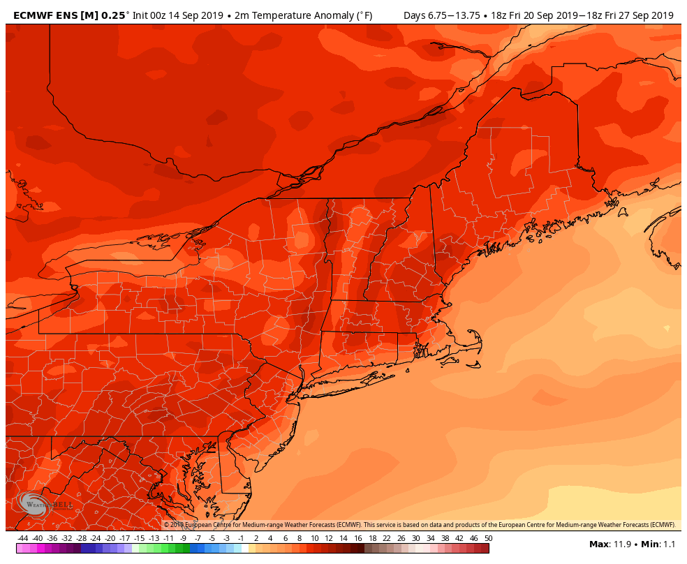
There is a high likelihood of above normal temperatures in New England by next weekend, and that trend continues for a while. High temperatures could be close to 80 for a few days, and that’s nearly 10 degrees above normal for early fall. The low temperature could be closer to 60 than 50, so it may not be wise to take out the window A/C units just yet.


