The long-duration Nor’easter that brought snow, sleet, freezing rain and rain Sunday afternoon and night continues on Monday with light sleet and rain changing to snow late in the day and at night from west to east. The snow may get steadier late at night and early Tuesday as the storm intensifies east of Cape Cod.
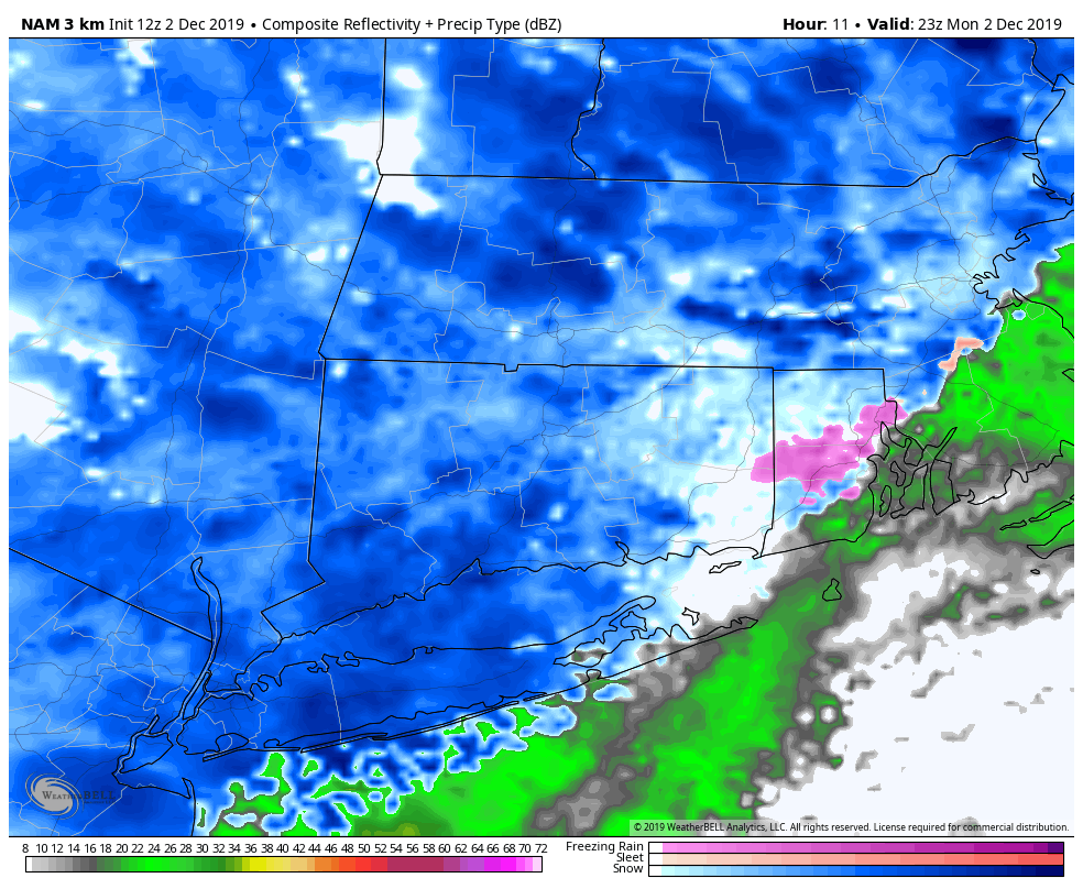
Most areas will see a coating to 2″ of new snow between Monday evening and midday Tuesday, but higher elevations of Connecticut and northern RI could get 3-5″ if heavier bands develop. There will also likely be more than 2″ of snow in eastern Massachusetts, with the potential for 6″+ in some spots if the storm comes together just right.
The temperature will dip below freezing from northwest to southeast Monday afternoon and evening. Watch out for some slippery spots on the roads late in the day. It may get very slick once the change from rain to snow happens.
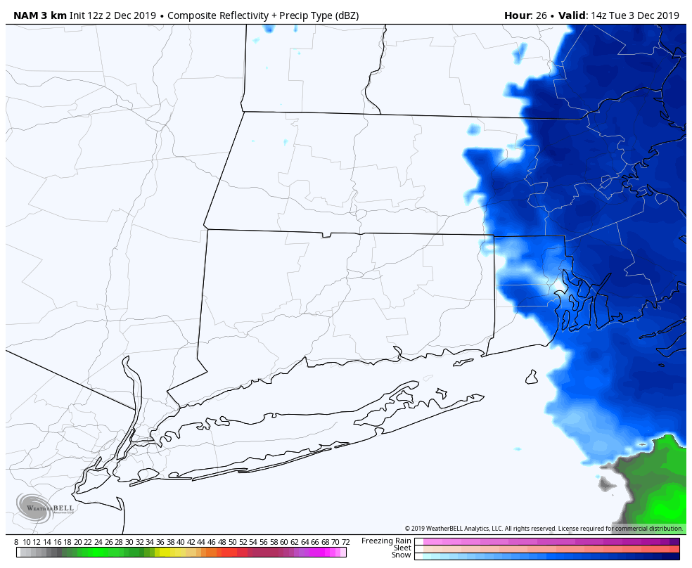
It’s unclear exactly how the storm will come together Monday night into early Tuesday, and it’s possible some towns will get a dusting to an inch while others not too far away get 4-6″. There will be localized bands of steadier snow overnight. The snow threat ends by about 8 am in Connecticut and 11 am in Rhode Island. Snow could linger until late in the afternoon near the Eastern Massachusetts coast.
The weather looks cold and dry in the midweek. Expect low-mid 30s with a gusty wind Tuesday afternoon. It will be in the upper 30s to low 40s at best Wednesday and Thursday. A few flurries are possible Wednesday night.
Friday looks mostly cloudy with scattered rain/snow showers possible as a surge of colder air arrives for the start of the weekend. It may not get to 30° on Saturday afternoon – even with some sun! Highs Sunday will likely be near 40°, and when the next storm system arrives Monday it should be warm enough for mainly/all rain. That seems a long way from where we are right now!


