December 26 – Mainly rain likely Monday
A weak disturbance passing through New England on Friday will bring light rain showers and temperatures well into the 40s to near 50. The best chance of a few rain drops is in Connecticut, but afternoon showers are also possible in Rhode Island. A front moving through after the shower threat will bring a very slight cool-down for Saturday.

Saturday looks dry with highs in the low to mid 40s. It will turn a bit colder on Sunday, but stay above 40 in the afternoon. The day will start in the 20s on Sunday.
A storm system will move slowly through the area Sunday night through Monday into Tuesday. Right now, it looks a bit too warm for snow in most of CT, RI and SE MA. The best chance of snow is in the higher elevations, and even there it does not look like much before rain. The storm system will linger for about 36-42 hours before moving away on Tuesday afternoon. Barring a change in the track, you can expect mainly rain, and 1-2″ of it spread out over a couple of days.
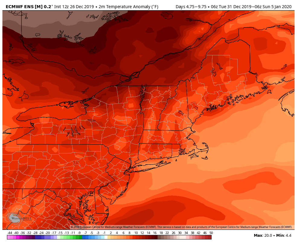
The storm should move out before New Year’s Eve festivities after sunset. It will not be a very cold New Year’s Eve with temperatures in the 30s at midnight. It will fall into the 20s to low 30s by dawn on Wednesday, and you can expect dry weather on Wednesday with highs in the low 40s. The weather looks fairly quiet into Thursday before another storm system threatens with mainly rain again Thursday PM into Friday.

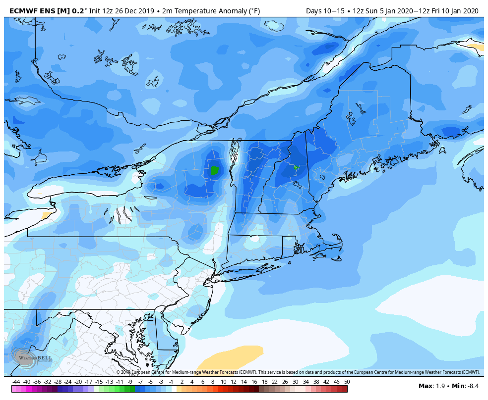
There are signs that the weather will turn colder over the first weekend of 2020, and of course that increases the threat of snow with any storms that develop. It’s too early to get very caught up in the snow potential between January 5-10, but it certainly higher than the first few days of the year.


