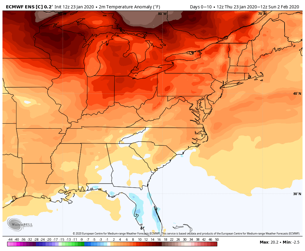
This January has featured very warm and mainly snow-free weather in Southern New England. There will not be much change to that pattern in the last week of the month. Relatively mild temperatures continue through the end of the January into early February. A storm that arrives on Saturday brings chilly rain, and no snow, to Connecticut, Rhode Island and Massachusetts.

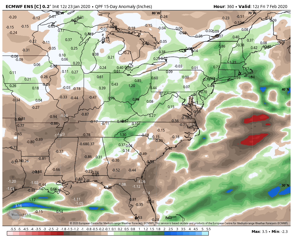
0.5-1.5″ of rain is most likely from the storm as it passes by this weekend. The heaviest rain will probably be in Connecticut, with less than an inch of rain more likely in RI and SE MA. The storm will be followed by an extended stretch of dry weather from Sunday through the middle of next week.
With most of Southern New England getting less than 5″ of snow in January, you may be wondering if the winter is ending early. I strongly caution against that thinking as we’ve had some snowy stretches in recent years from early February through March. The next chance at some snow comes late next week. It’s early, but the models are hinting at one or two storms taking a swipe at New England between late in the workweek and the end of next weekend. Snow or rain, it looks like the storms we get will produce above normal precipitation in the next two weeks.
One thing that I do not see coming down the pike in the next 10 days is extreme cold. There are signs that we may get cold (relative to normal) in about two weeks around February 6 or so.