The workweek begins with great weather on Monday and Tuesday in Southern New England. Look for highs in the upper 50s to low 60s with a decent dose of sunshine both days. A fast-moving Alberta Clipper system brings showers on Wednesday, and another front arrives on Thursday.

Both Monday and Tuesday will be breezy days, with a northwest wind and very dry air. There is an increased fire danger early in the week. The Alberta Clipper brings rain showers from late Tuesday night through Wednesday morning. Temps will be in the 40s when it’s raining, and may get back to 50 on Wednesday afternoon when dry weather returns.

Another front approaches on Thursday. Look for clouds to start with showers developing in the morning in Connecticut and around midday in Rhode Island. It looks like a wet afternoon. The temperature will be in the 40s when it’s raining. It’s possible that the rain will move through by early in the afternoon.
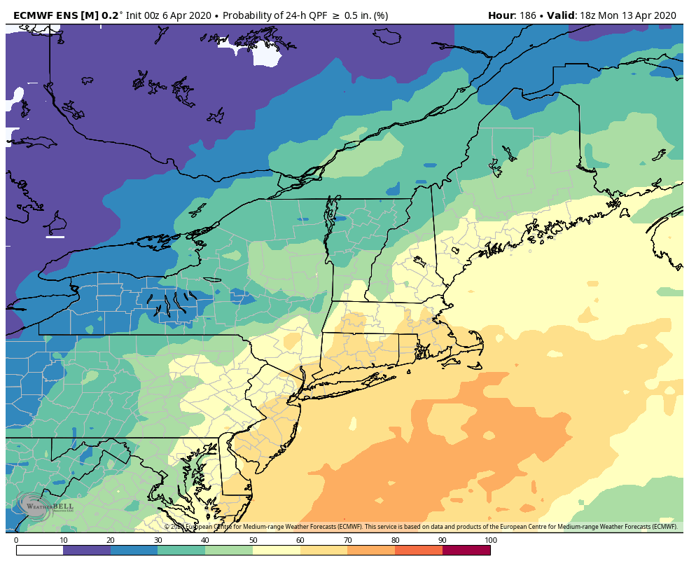
A pop-up shower cannot be ruled out on Friday, but most of the day looks dry. Expect highs near 50. Dry weather is likely on Saturday into Easter Sunday morning. The odds of rain increase by Sunday afternoon into Sunday night as a storm moves out of the Southeastern United States. It’s early, but it looks wet Sunday PM into Monday AM.
An interesting side-effect of the COVID-19 Pandemic is the impact it could have on weather forecasts. Most of the surface observations worldwide are automated, but some areas – especially in rural and developing countries, still rely on someone to be there to record the weather observation. The pandemic has caused gaps in the data from some of those locations. More importantly, the lack of air traffic is lowering the density of upper-air observations. About 3000 commercial aircraft worldwide are equipped to transmit weather data that is used in computer modeling. With some of those planes grounded, the quality of the data used to initialize the model is not as good as it could be. The good news is that while the forecasts may not be as accurate as we’re used to, they should still be decent because so much of the data we received is automated.


