Of course it’s going to snow in Southern New England on Saturday, May 9. That makes all the sense in the world given what has happened in the past couple of months. The winter that wasn’t has turned into the winter that won’t end while we are all cooped up in quarantine. We had brushes with snow in late March, mid April and now early May. The temperature will never get to below freezing, so the odds of seeing anything stick to the roads is low for the vast majority of CT, RI and SE MA. The highest elevations over 600 feet in CT and RI could see minor accumulations on some pavement, but even there the temperature will stay above freezing and the snow follows rain earlier Friday night. At worst, this looks like a novelty of seeing flakes so far into spring, without any major or lasting impact.

Clouds increase on Friday ahead of the system that will spread rain in by around sunset. The rain will likely change to snow inland late Friday night before ending around dawn in CT and by about 8 am in RI and SE MA. The rain may change to snow all the way to the coast, but it’s a less likely proposition. The bottom line is if you want to see snow on the deck/grass/cars, then it’s best to get out of bed early Saturday morning. The temperature will stays above freezing so any snow that falls and sticks to any surface should melt within a couple of hours of sunrise – especially as the storm moves away. Icy travel is highly unlikely because of the relatively warm temps.
Saturday afternoon looks dry, but very cool with highs only in the upper 40s to near 50. Mom gets a dry, but cool, day on Sunday with lows in the mid 30s and highs in the low 50s. Yet another Alberta Clipper makes a run at New England early next week. Showers are possible Monday afternoon and evening. Right now, it looks more likely to miss than hit, but the way things have gone this spring, it will probably be in the 40s and raining!
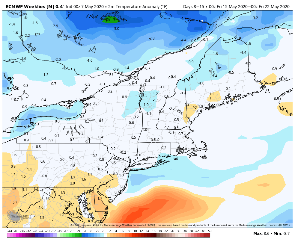
The weather stays cool through the middle of the week. There are signs that we’ll finally snap out of it with a decent stretch of typical mid-May weather by the end of next week into the following week. One thing we’ll be watching for is a storm late next workweek, but the temperature does not look as relatively cold as what we’ll get during the upcoming weekend.