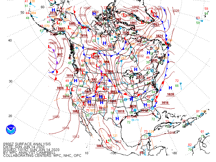
A large area of high pressure arriving from Canada will keep Southern New England dry for most or all of the upcoming week. At one point last week it looked like the stalled boundary and storm system near the Eastern Seaboard would drift far enough north to bring rain and a mostly unsettled stretch to New England, but that will not happen. Rain will be confined to the Mid-Atlantic and Southeastern United States.
Look for a few very comfortable nights into the middle of this week. Outlying areas may dip into the 40s, and everyone else will be in the 50s. Highs will be a bit below normal into the midweek, but still nice with temps in the 70s.
It gradually gets warmer late in the workweek, and depending on how the slow-moving storm system evolves, it could get hot heading into next weekend. What’s left of the disturbance will drift north, but it may not have much punch and could fall apart as it moves slowly offshore late in the workweek. If there’s no rain with it, the temperature could get well into the 80s or low 90s sometime between Friday and Sunday.

The temperature for this week will likely average near normal – cool early in the week, and warm late in the week. Next week looks warmer than normal and still mainly dry. The best chance of rain next week appears to be early in the week – around June 22-23.
Rain totals have been mostly below normal for the first half of the month, and it looks mainly dry for the second half, so that’s something to keep an eye on as we head into the hottest part of the summer in July.


