A stalled front will send some showers into Southern New England between Thursday night and Saturday morning before another front sweeps any rain out to sea. Friday does not look like a total washout, but showers cannot be ruled out throughout the day and night. A spotty shower is possible Saturday afternoon as the cold front passes, but widespread rain is highly unlikely.
Expect dry skies from Sunday through the middle of next week. It will likely be near to cooler than normal, but still quite nice. Look for highs in the 70s. What’s left of Tropical Storm Cristobal will get caught in the jet stream and head for New England. It’s unclear if that will mean just a few showers or steadier rain, but there’s a decent chance of rain some time between Thursday and Saturday of next week.

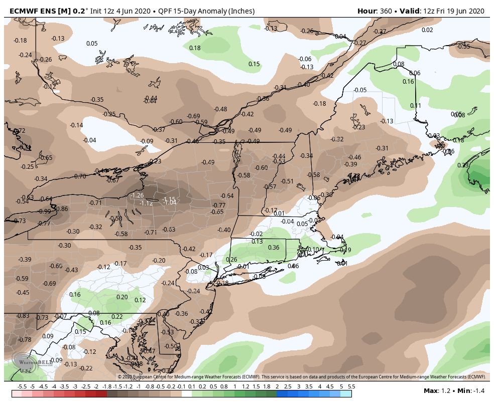
The overall weather pattern does not look extreme in either direction in the next 15 days. Both the temperature and precipitation will average near normal with some days a bit cooler and some a bit warmer than normal. Showers heading into this weekend will be replaced by a 4-5 day stretch of mainly or all dry weather followed by more showers at the end of next workweek or the start of the weekend.