Showers and thunderstorms on Friday are the leading edge of hot weather that arrives this weekend and lasts into early next week. It will be quite cool for mid-July on Friday with temps in the 70s and plenty of clouds with the scattered rain.
Look for temps to soar into the low 90s on Saturday inland. It may stay in the 80s at the coast with an onshore breeze. It will be very humid near the coast, and less humid inland. Sunday looks like the dog days of summer with lows near 70 and highs in the low 90s. It will be humid, so it may feel like the upper 90s – especially inland. The weekend will be free from rain.
Hot weather rolls on early next week. Expect highs in the low to mid 90s on Monday. An approaching from will trigger scattered t-storms on Monday. Right now, it looks like it stays hot on Tuesday with highs near 90. Another front closes in on New England on Wednesday. That brings the threat of more thunderstorms and likely cooler weather with highs in the 80s.

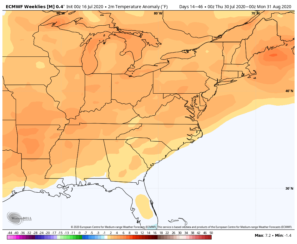
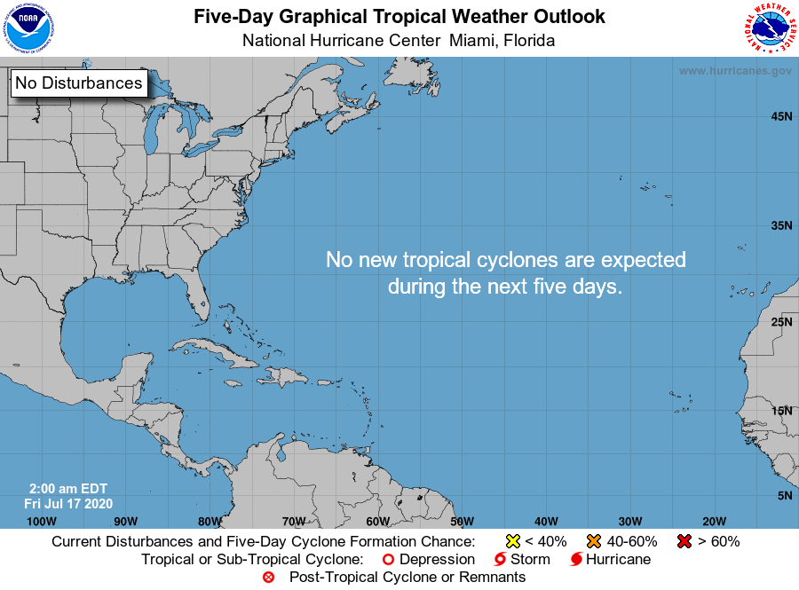
The overall weather pattern looks warm, but also a bit unsettled in the last week of July. It has been a dry stretch in New England, and there is potential for above normal rain in the last week of the month. The tropics are very quiet right now, but that is not likely to last into mid-August.
The long-range outlook for August is for relatively warm weather to continue in the Eastern United States. The rain forecast is difficult because if the tropics come to life, then there could be a tropical system or remnants that bring heavier rain to the Eastern United States. If that doesn’t happen, the overall rain outlook is below normal for the month.