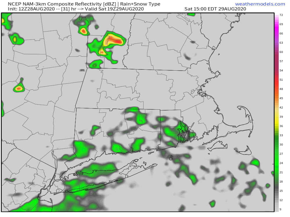
What’s left of Hurricane Laura will get caught in the jet stream and move past Southern New England on Saturday. Some rain is likely, with best chance of steady rain in the morning, and scattered showers/t-storms possible in the afternoon. The core of the storm will likely stay well south of New England, with any wind coming from the showers/storms and not from the remnants of the tropical cyclone. Temps will be in the 70s on Saturday.
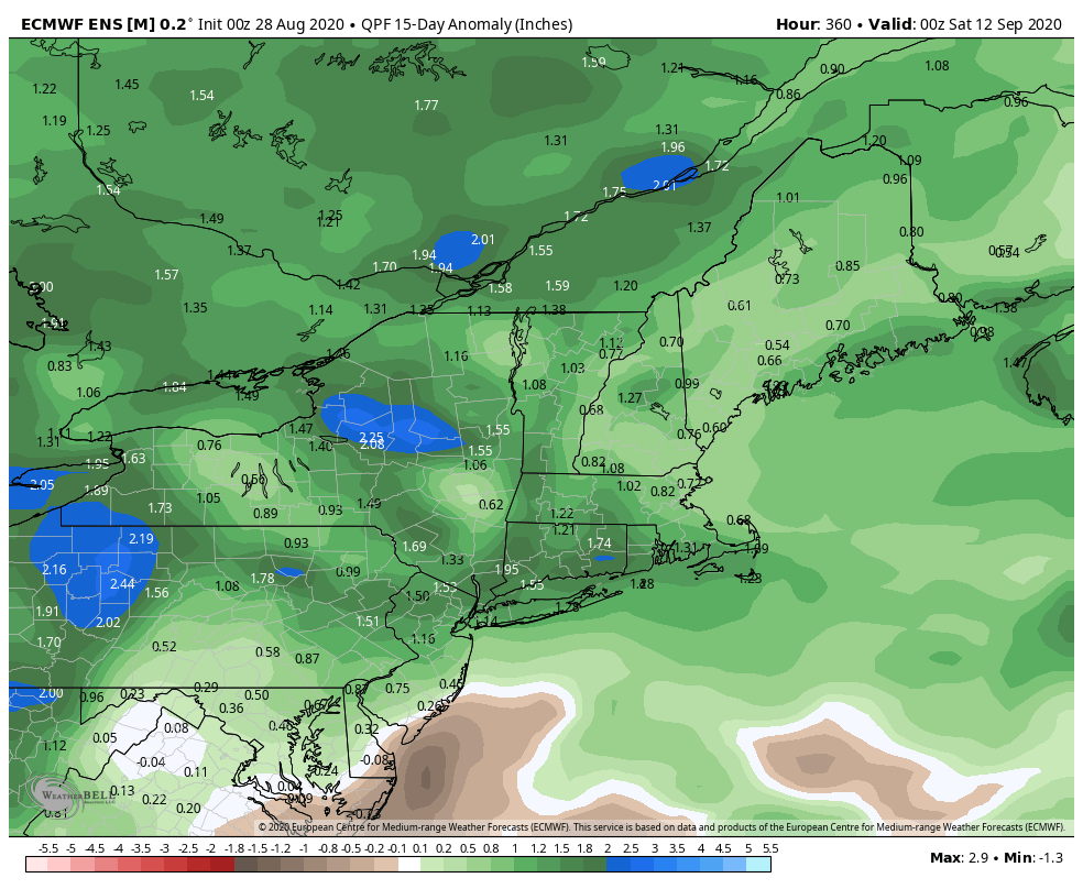
Quiet weather is likely on Sunday with highs not far from 80. Monday looks dry and seasonably cool. A disturbance moving out of the Mid-Atlantic could bring showers on Tuesday. Another front moves through the late in next workweek. After a mainly dry summer, the weather pattern has favored more rain lately, and it looks like that trend continues into the start of September.
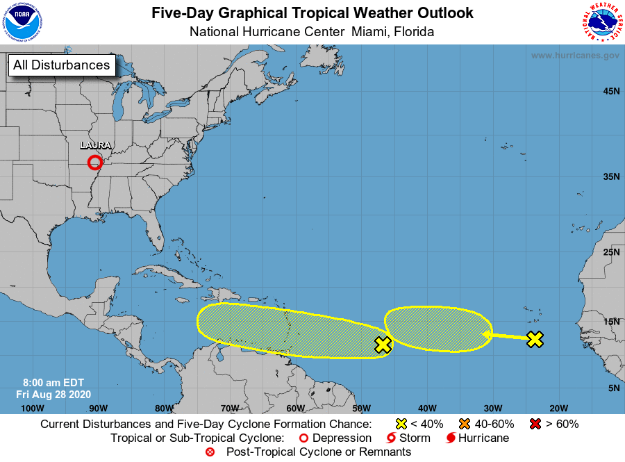
The climatological peak of hurricane season is in early September. This has already been an historic year with 7 storms making landfall in the United States before September 1. That is the first time that has happened since record-keeping began in the 1800s. There are no imminent threats for a new tropical storm in the Atlantic Ocean, but two tropical waves are being watched for development. We have a few more weeks of active tropical weather ahead of us, with several more storms likely before the end of next month.