A complex storm system carrying the remnants of Tropical System Zeta moves through New England late in the workweek bringing rain and then the first taste of snow this season for some in Southern New England. In the meantime, it stays seasonable, with showers likely Wednesday morning.

Rain arrives Thursday afternoon and continues through Thursday night. As cold air arrives on the back side of the storm, a change to mix/snow is possible from north to south on Friday morning. I do not expect enough snow and cold to cause issues on the roadways in most of Connecticut and Rhode Island. The highest elevations, mainly in Connecticut, could get enough steady snow and a temperature near freezing to lead to some slick roads. There should be no icy impact on the roads in the I-95 corridor.

It’s early, but the outlook for any change from rain to snow is between just before dawn on Friday until late in the morning. The precipitation will end Friday afternoon. The temperature will fall from the 40s Thursday night to the 30s by Friday morning. Even if there is snow, it will likely be above freezing in most or all of Connecticut, Rhode Island and Southeastern Massachusetts on Friday. The temperature will also be above freezing late in the day after the precipitation ends, but it will fall below freezing at night. Any standing water/slush could freeze. A breeze will help to dry most paved surfaces Friday night.
Expect a chilly Halloween with highs only in the mid 40s and it will be in the upper 30s to low 40s for any trick or treating. Milder air arrives on Sunday ahead of a cold front that will likely trigger showers, and possibly a t-storm, late Sunday. Highs will be in the 50s on Sunday. The weather pendulum swings back in the other direction early next week as very chilly air follows the front early next week. Monday will be in the 40s, and it may not get much above 40 on Tuesday.
Wet and then dry next two weeks
The showers on Wednesday followed by rain and possibly snow on Thursday-Friday, and more rain late in the weekend sets up a rare wetter than normal 7 day stretch in Southern New England. 1-2.5″ of rain is most likely by early next week in most areas.
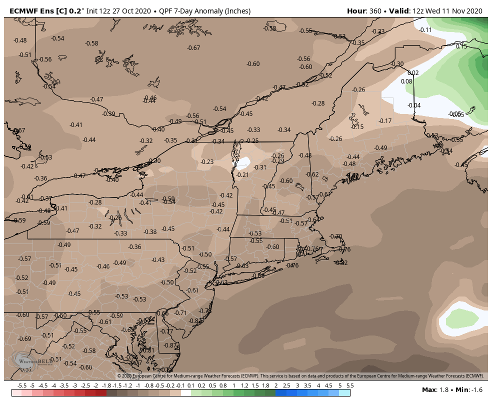
However, the weather pattern looks very dry in the following seven days with a good chance of mainly or all dry weather from Monday into next weekend.