A remarkable stretch of warm weather in Southern New England ends in the next couple of days. Providence has had a record high temperature for four consecutive days. That ties January 14-17 for the longest streak of record high temperatures in Providence. There is an outside chance to make it to five straight records on Tuesday. The record is 73° set in 1999.
The temperature stays way above normal on Tuesday and Wednesday before it turns cooler from Thursday into the weekend. The normal high temperature is in the mid 50s, so the cool-down may come as a shock to the system.
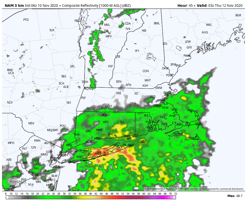
A few showers cannot be ruled out during the day on Wednesday, but it should be dry for most of the day. Rain is likely Wednesday night through at least Thursday morning. Showers could linger for a good chunk of the day in RI and SE MA. Showers may hang around near the coast in Connecticut, too. The slow-moving front will bring 1-2″ of rain to Southern New England.
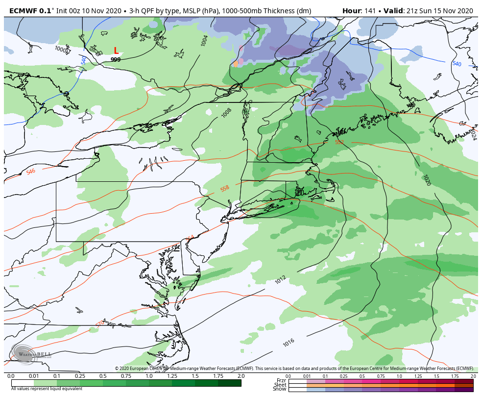
Dry weather returns no Friday, but it will not last through the weekend. Look for highs in the mid 50s on Friday, and only in the low 50s on Saturday. A storm system moving through the Upper Midwest may scoop up what’s left of Tropical Storm Eta and bring rain Sunday afternoon and/or night.
The weather pattern looks dry, but colder next week. It may not be colder than normal, but it will likely feel like it because of the recent warm stretch. Look for highs in the low 50s and lows in the 30s next week.


