2020 ends with scattered rain showers Thursday morning and 2021 begins with steadier rain moving in late on New Year’s Day into Saturday. The storm system arriving Friday evening will start as cold rain with a few flakes or ice pellets possible – especially inland. It will gradually warm into the 40s with rain likely overnight into Saturday morning. About a half-inch of rain is likely.

Another storm system is possible late in the weekend into early next week. It’s unclear if the storm will come far enough north to bring steady precipitation to Southern New England. At this point, it looks like the best chance of steady precipitation is over southeastern Massachusetts.
If it comes close enough for steady precipitation, the question then becomes is it cold enough for snow? There’s not a lot of cold air around, but a track offshore in early January should favor mix/snow for inland CT, RI and SE MA. The dearth of cold air could lead to rain south the I-95 corridor, with a battle zone from Boston to Providence to New Haven. It’s still several days away and too early to speculate on any potential wintry impact, but keep a close eye on the forecast for Sunday night into Monday.
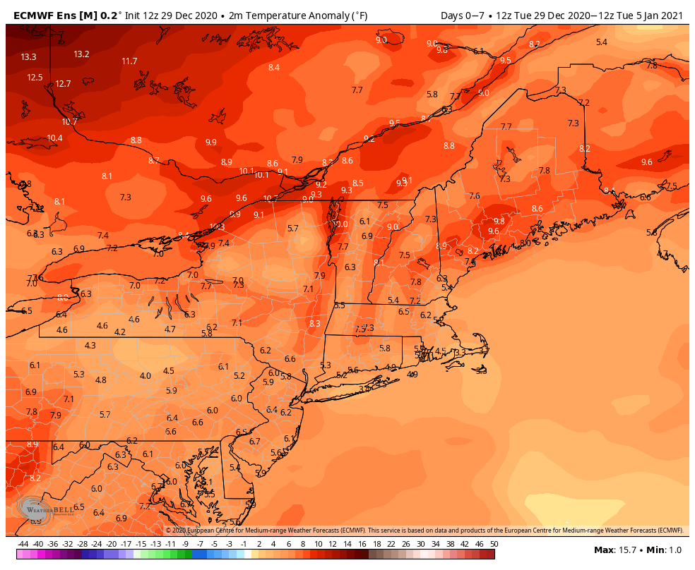
Quiet weather is likely for the rest of the first full workweek of 2021. The weather pattern favors warmer than normal weather in early 2021, but that does not necessarily preclude the potential for snow.