February 5 – Active weather pattern continues
A quick-hitting storm will likely bring more accumulating snow to Southern New England on Super Bowl Sunday. The storm will be a daytime event, with the best chance of steady snow in the I-95 corridor – especially over Rhode Island and Southeastern Massachusetts.
At this point, it looks like a moderate 3-6″ event, but the snow forecast could change in the next 24 hours because the fickle system has been tough to pin down. If it is “flatter” and races out to sea, then there is likely to be little snow. If it comes closer and gets too wound up, it could bring a mix into the coast and heavier snow totals inland. In any event, the storm should not last for more than 8-10 hours in any given area because it’s a fast-mover.

More action next week
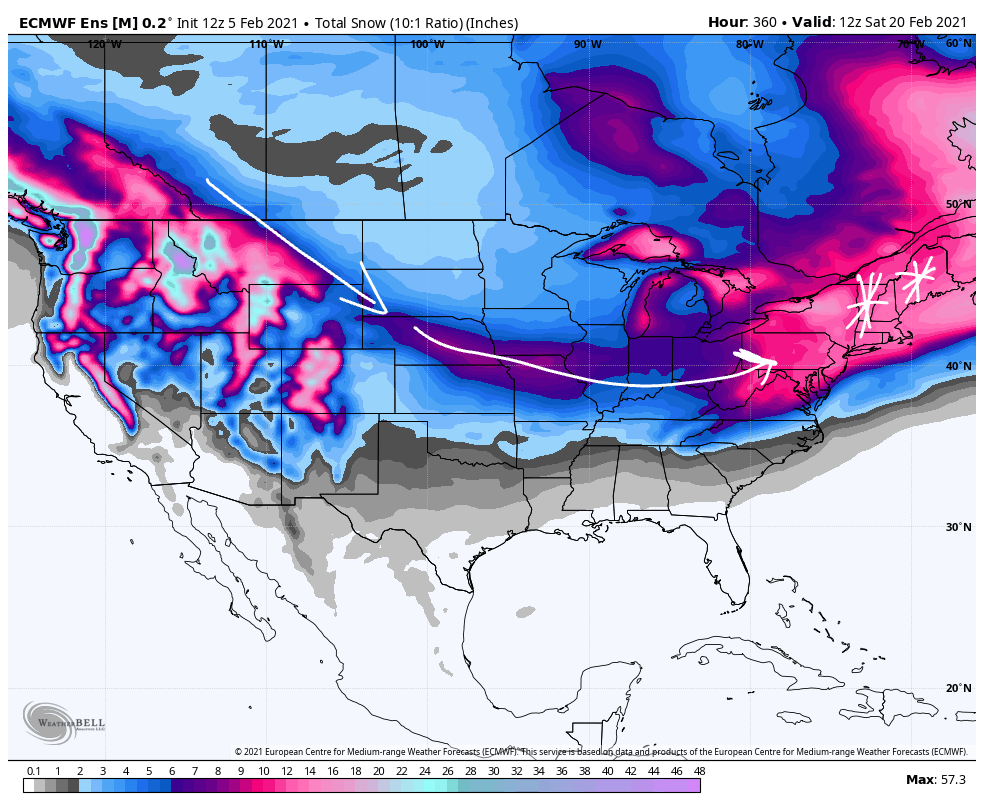
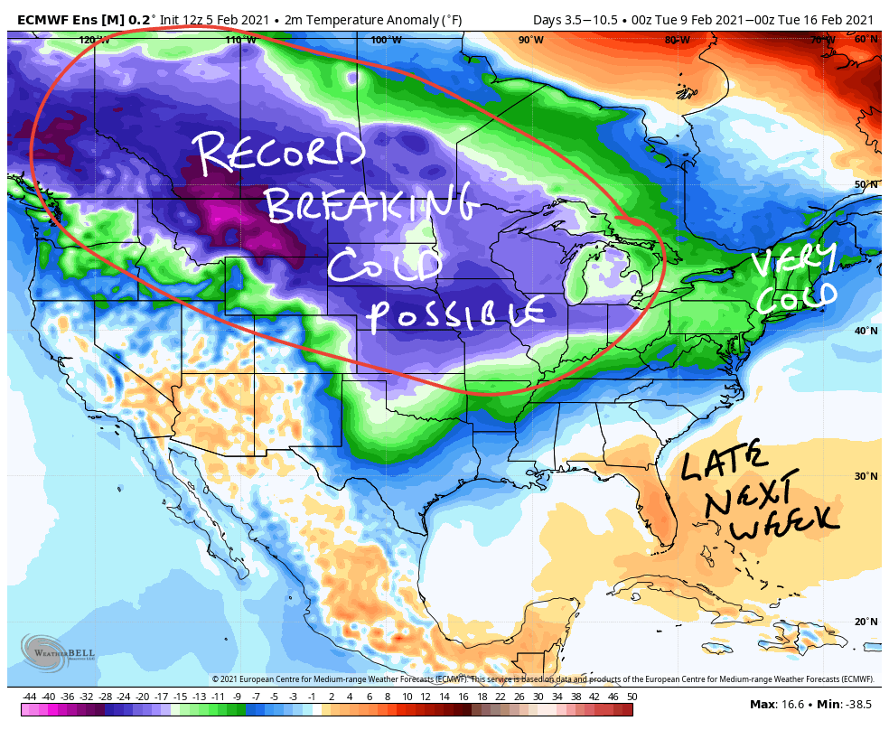
The weather pattern in mid-February favors more active weather next week. It’s early, but snow threats are likely on Tuesday and Friday. Details are uncertain and either or both of the systems could have a mix/rain element. There is even a relatively high chance of another event around Presidents’ Day. What was once a pretty tranquil winter is heading in the other direction.


