A surge of Arctic air will ride in on strong winds Monday night. Record-breaking cold is unlikely, but it will not too be far from the record low temperature in Hartford (4°) and Providence (8°). It will feel like -10° in some spots with a gusty wind Tuesday morning.

Snow flurries or squalls are possible Monday evening as the frigid air arrives. The wind will gust well over 30 mph Monday night, with a few 40-50 mph gusts possible. A second burst of strong winds is likely Tuesday morning/midday with gusts over 40 mph possible.
After an incredibly cold start on Tuesday, the temperature will only rebound into the upper teens to mid 20s in the afternoon with dry skies. It will feel like the single digits. It will be very cold, but not as frigid, Tuesday night. The temperature surges into the 40s on Wednesday.

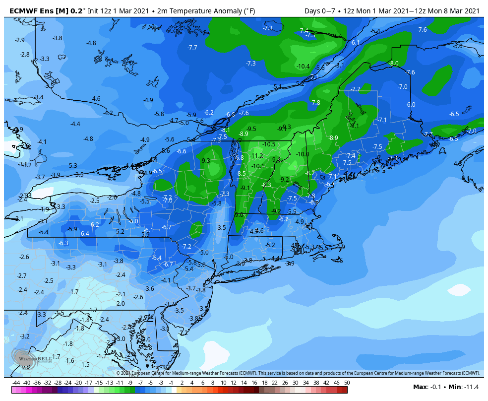
It turns colder on Thursday and a chill lasts through the weekend. Highs will be a few degrees below normal in the 30s to near 40, instead of the mid 40s. It looks dry from midweek through the weekend. An offshore storm does not look like it will drift close enough to the coast for any precipitation, but it will help to lock in the chilly air through the weekend into early next week.
All signs point to warmer weather in the second week of March. Not only will get back to normal, it may be warmer than normal. At this point, snow seems unlikely in the first 10-15 days of March. Of course, climatologically, it becomes less likely after March 15.


