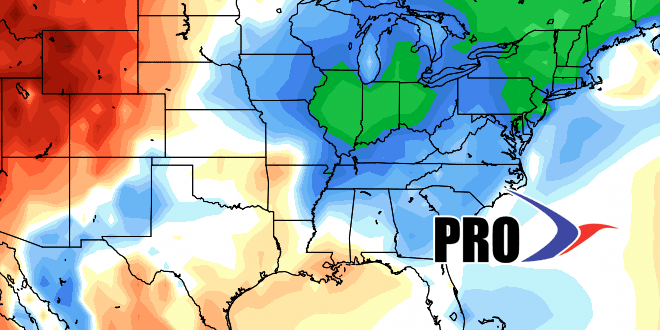
Long-Range Forecast – September 15

The temperature is running 3° above normal in the Providence area at the midway point of the month. The very warm first week outweighed the much cooler second week. The average monthly temperature will continue drifting back to near normal as more cool weather is ahead for the next five days.
Aside from a few stray showers on Tuesday, there is not much rain in the forecast through the weekend. A stray shower may pop up on Thursday as a cold front moves through, but that should be the exception and not the rule. A very early frost cannot be ruled out in the interior countryside of SE MA and N RI late this week. The weather should warm up by late in the weekend.
A cold front will move through early next week. Once again, it does not look like more than scattered showers at this point. More dry weather is likely in the middle of next week. Looking way down the road, there is a chance that one of these fronts taps into some tropical moisture in the Gulf of Mexico and brings a more significant rainmaker up the East Coast. The timeframe for that possibility is in the last week of September.


