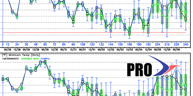
Long-Range Forecast – October 27

The buzz has already started about an early season snowstorm in part of the Northeast this weekend. While it’s not impossible, the odds favor a cold shot, with some flakes, but not a blockbuster snowstorm. Before that happens, the relatively mild weather will continue through the workweek until Friday when it falls to seasonable levels. The trick or treat outlook is not super, but it’s not too frightening, either. The temperature will be falling from the 50s into the 40s during the evening. At least it will be dry.
Saturday will become showery and raw, and there is a chance that rain changes to snow Saturday night as a storm develops offshore and cold air is wrapped into the storm. Right now, it looks like there could be enough snow for a dusting to 1″, but it’s tough to say if it will stick because the ground is not frozen, and it will be wet from rain during the day. Of course, if there’s more precipitation than now forecast because of a stronger and slower-moving storm, then the odds of accumulating snow increase. It’s all speculation at this point, and really not worth writing or saying too much about because of the uncertainty with the forecast 5-6 days from now.
in any event, Sunday will be blustery and cold. Highs will only be in the low to mid 40s, and wind chills will be 10-15° colder than the air temperature. It looks dry, and clear skies Sunday night may lead to a widespread frost/freeze scenario that ends the growing season for the part of SNE where it continues.
The cold shot will not last for long, and there should be a decent warm-up next week. In fact, there is not a heck of a lot of very cool weather in the forecast for the first 10 days of November (after this weekend). Mid to late workweek showers are possible next week, but it does not look like a soaking system. Overall, after a rough start, the first half of November looks relatively benign.


