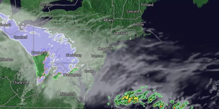
After a sunny start, there will be some clouds during the day on Wednesday. It will be a dry and chilly day, with highs in the upper 20s to low 30s. A storm system passing south of Southern New England Wednesday night into Thursday will shift the wind to the northeast, and may throw a few flurries our way. The best chance of seeing steadier light snow is on Cape Cod and the islands, but it looks like it may stay just offshore. Lows will be in the upper teens to mid 20s Wednesday night.

Flurries are possible Thursday morning as the disturbance moves out to sea. Right now, we’re not expecting any snow accumulation. Some clearing is possible Thursday afternoon, and highs will be in the low to mid 30s. Friday will be a mostly sunny and seasonably cold day. Lows will be near 20, and highs will be in the mid 30s.
We are watching the potential for a weekend storm. It will move from the Gulf of Mexico to off the Eastern Seaboard Friday night into Saturday morning. The storm center will likely pass east of Nantucket late Saturday into early Sunday. The current projected track of the storm favors snow inland, snow, mixed, and rain in the I-95 corridor, and mixed precipitation and rain near the coast. It is still early in the game, and this storm will be very track sensitive. There will not be a surplus of cold weather over the Northeast, and a track too close to the coast will lead to mainly rain or mixed precipitation in the I-95 corridor.
The weather looks dry and cold Sunday afternoon into Monday before another storm threatens early next week. It looks like the weather action is picking up after a sluggish start to the winter!


