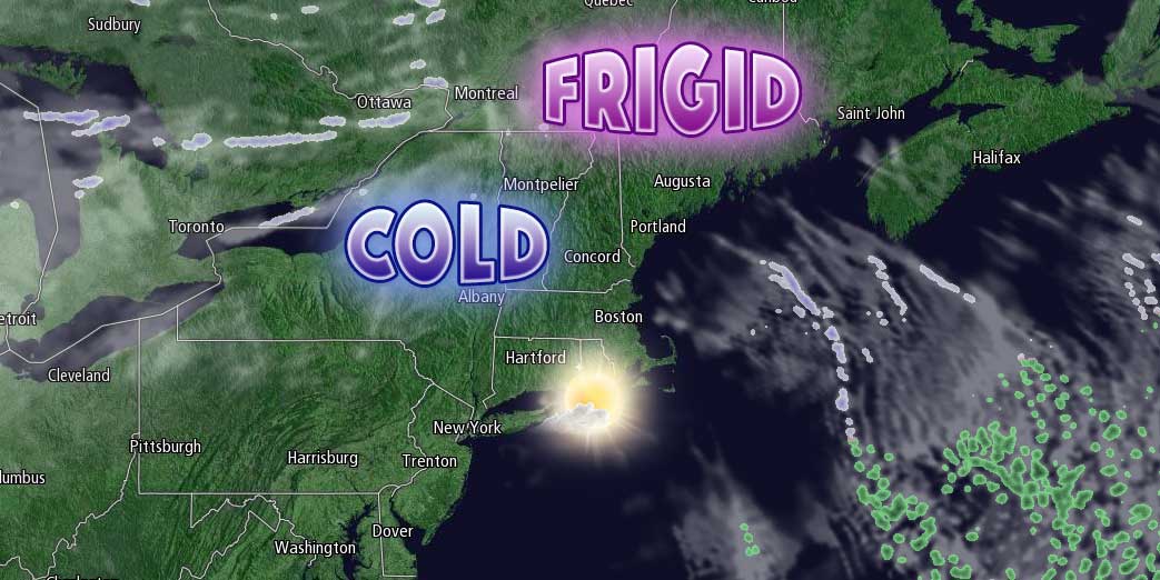
Tuesday was a record-setting day in Southern New England. Boston (15.9″) and Providence (7.7″) both set daily snowfall records. Boston also set a record for the snowiest 7-day stretch on record with more than 40″ of snow since last Tuesday! The storm will be out of the picture by early Tuesday, and more frigid and dry weather is ahead on Tuesday. Lows will be in the single digits with sub-zero wind chills in the morning. It will only reach the low to mid 20s in the afternoon – even with plenty of sunshine.

Tuesday night will be clear and very cold. Lows will be in the single digits to low teens. A weak system will move through some clouds and possibly a few snow showers or flurries on Wednesday. No accumulation is expected, and highs will be in the low to mid 30s.
There is a lot of uncertainty about the Thursday forecast. An approaching Arctic front brings the possibility of a period of snow, but there is also a chance that the front merges with a developing storm near the Southeast US coast and leads to something more substantial in Southern New England. It’s somewhat of a toss-up at this point about how it will play out, but you can count on the threat of at least a bit more snow on Thursday with highs in the upper 20s to low 30s.
Friday looks frigid as the front/storm moves offshore. Highs will be in the teens to low 20s. Spotty snow showers are possible on Saturday with another weak disturbance. Sunday looks mainly dry and cold as another storm develops in the Southeast and Mid-Atlantic and takes aim at New England early next week. If that one brings another round of substantial snow, then this stretch will continue to rewrite the record books.


