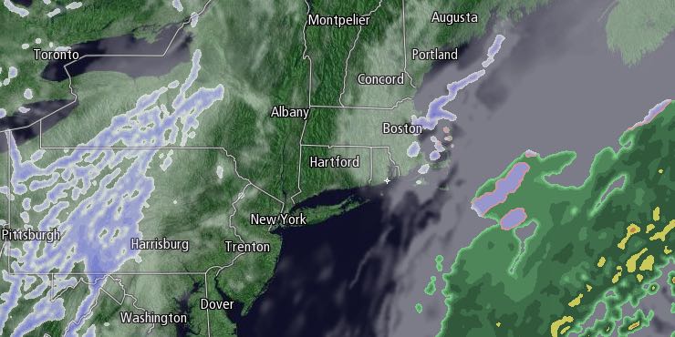
Another 2-4″ of fluffy snow fell in Rhode Island and Southeastern Massachusetts on Tuesday. Flurries lingered into the evening, and they should end overnight. A fresh, light coating of snow is possible by dawn. Lows will be near 10 on Wednesday morning.

Wednesday looks like a mostly cloudy day with a chance of flurries and snow showers, especially in the afternoon in Eastern Massachusetts. Highs will be in the mid to upper 20s. Clouds will hang around Wednesday night, and there is a better chance of snow showers and flurries at night.
A slow-moving disturbance may be enough to lead to an inch or two of snow in Rhode Island and Southeastern Massachusetts between late Wednesday and early Friday morning. Highs will be in the 20s on Thursday with snow showers possible throughout the day.
Friday looks dry and very cold, with highs only in the teens to low 20s. Lows will be in the single digits on Saturday morning, and clouds will increase during the afternoon ahead of another storm system. Highs will be in the upper 20s to low 30s on Saturday.
A storm is in the forecast for Saturday night into Sunday. It’s unclear if it will be mainly rain or snow, but, right now, it looks like it will start as snow before transitioning to rain. It will be a slow-moving system, and if it is more rain than snow, there could be flooding problems with ice-clogged storm drains, and the potential for roof collapses as the snow soaks up the additional water. We will track this forecast closely over the next few days.


