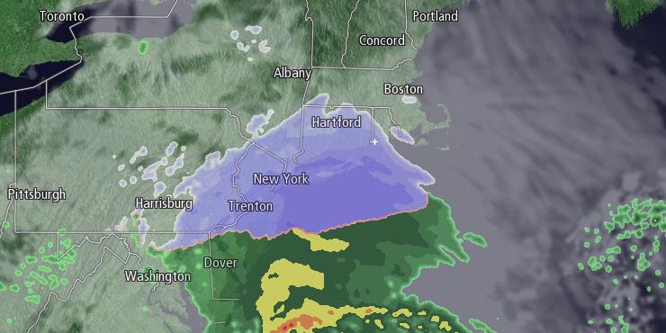
The last full day of winter was unseasonably cool in Southern New England. Highs were in the 30s for a second straight day, and the low temperature was in the teens in many spots. It will be cold Thursday night with thin clouds arriving after midnight. Lows will be in the mid to upper teens without much of a breeze.

Clouds will increase on Friday morning, and light snow will develop during the mid to late afternoon from southwest to northeast through RI. Snow may hold off until after sunset in coastal SE MA. Highs will only be in the mid 30s on Friday. Light snow is likely Friday evening. A coating to an inch is possible in the Providence area and interior SE MA. Closer to the coast, there could be up to two inches of snow. Overall, it does not look like a big deal. Lows will be in the upper 20s to low 30s with snow showers and flurries possible after midnight.
There may be a few lingering flurries early Saturday morning. Skies will become partly cloudy with highs in the low to mid 40s in the afternoon. A strong cold front will move through New England Saturday night, and an unseasonable chill will return on Sunday. The temperature will struggle to reach 40 on Sunday with a gusty northwest wind. Lows will be in the teens to low 20s early Monday, with wind chills in the single digits to low teens.
It will stay cool and dry early next week. Highs will be in the 30s on Monday, and in the low 40s on Tuesday. Both days should feature mostly sunny skies. Wednesday looks like a nice day with highs in the mid to upper 40s. It may make it into the 50s on Thursday, but an approaching cold front could bring rain showers.


