Hot Again Monday; Cooler Late-Week

The Providence area may see its first 90° day of the year on Monday. It will stay warm on Tuesday before a gradual cooling trend through the end of the workweek.
MONDAY
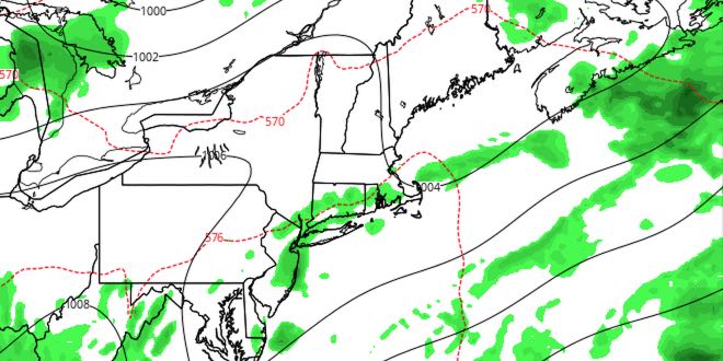
Early clouds and fog will yield partly cloudy skies by mid-morning. There is still enough energy in the atmosphere for a pop-up thunderstorm sometime between late-morning and mid-afternoon. Rain will likely not be widespread, but keep your eyes to the sky. The wind will shift from the southwest to the west during the afternoon, and that will bring in less humid air. Highs will be near 90 inland, and in the mid to upper 80s at the coast. Monday night looks partly cloudy and mild. Lows will be near 70.

TUESDAY
Relatively warm weather remains over Southeastern New England on Tuesday. It will be partly sunny with highs in the upper 80s to low 90s inland. It will be in the low 80s near the coast. There is a slight chance of showers/storms late in the day and at night.
MID TO LATE WEEK
Cooler and less humid weather arrives on Wednesday and the cool-down continues through the end of the workweek. It will be mostly sunny and in the low to mid 80s on Wednesday. It will not be a muggy day. Thursday and Friday will both feature highs near 80, and lows in the low 60s. Skies will be partly sunny in the afternoon, and mainly clear at night. A brief shower cannot be ruled out on Friday. Saturday should be about the same, with slightly cooler than normal weather for this time of the year.


