July 18th Update
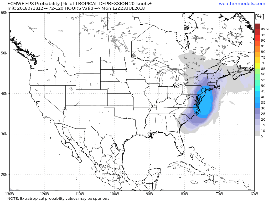
Enjoy the nice weather over the next couple of days. The humidity will be low, and there will be plenty of sunshine both Thursday and Friday. Clouds increase on Saturday ahead of a storm moving in from the south. It’s unlikely that the storm will get deemed sub-tropical and receive a name, but it’s likely to bring rain and possibly gusty wind through Southern New England Saturday night into Sunday morning. It’s a bit early to say where the heaviest rain will be. At this point, it looks like it may be in western New England instead of RI and SE MA.

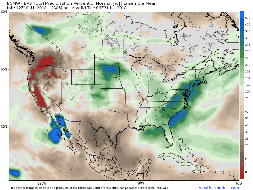
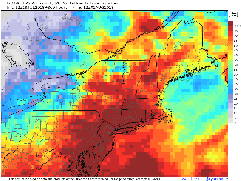
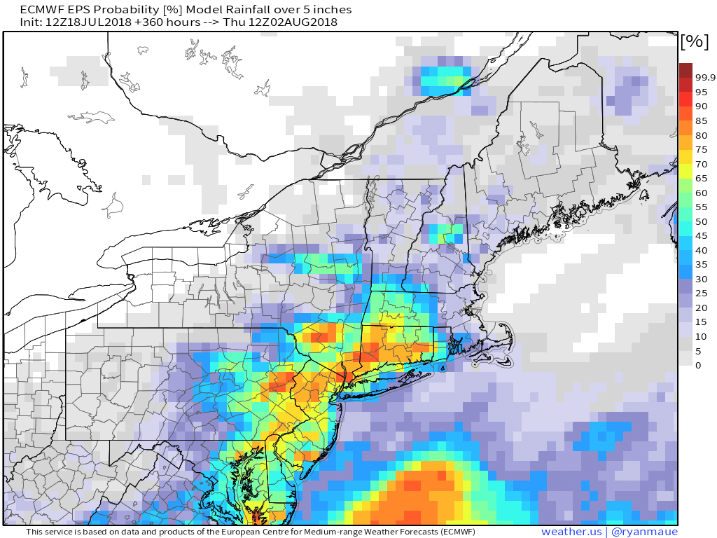
The storm marks the start of a very unsettled weather pattern that will last through nearly the end of the month. Sunday through next Sunday can be painted with a very broad brush that advertises scattered or isolated showers and thunderstorms each day. It will be tropically humid with a fair amount of clouds. Highs will likely be in the upper 70s to low 80s, and lows near 70. The timing of the showers will come into better focus early next week. While it’s unsettled, RI and SE MA may not get the brunt of the rain. Right now, it looks like that will be to the west in NY, NJ and part of CT.
The bottom-line is stay on top of the daily forecast if you have outdoor plans late in the weekend or next week. Taylor Swift has three shows at Gillette Stadium next week. It’s highly unlikely that the weather will be completely dry for all three. Here’s hoping next Saturday night’s show is dry – that’s the one I’m taking my family to!


