March 13 – Mild end to the week

A weak disturbance passing through New England overnight may send a few light showers into Connecticut, Rhode Island, and Southeastern Massachusetts. The temperature will likely stay above freezing in most spots, and I do not think there will be enough precipitation to cause icy conditions early Thursday in the areas that fall below freezing.
The temperature warms into the 40s Thursday afternoon with a blend of clouds and sunshine. The breeze coming off the water will make it feel colder near the coast. A few towns inland may touch 50° around 2-3 pm. Clouds thicken Thursday night, with mist, fog and drizzle possible by dawn on Friday. It will not be a cold night, with lows in the upper 30s to low 40s.

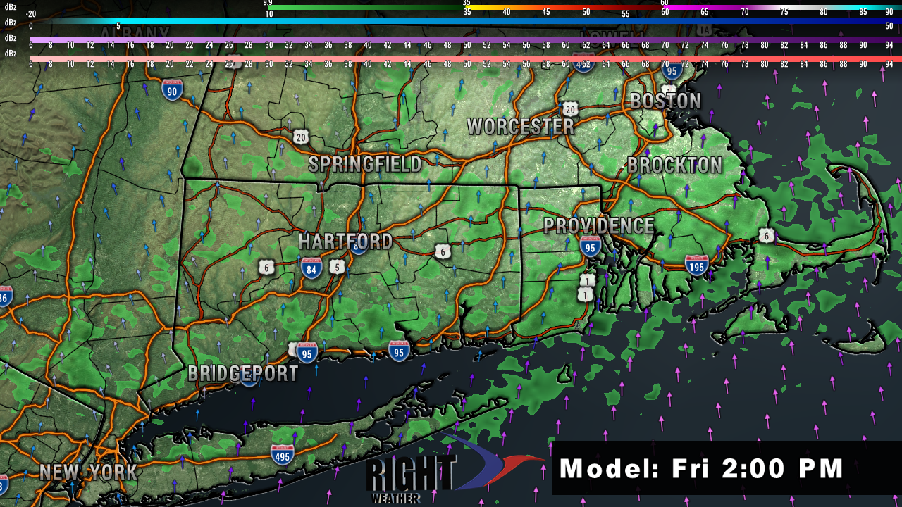
Friday looks very mild, but also somewhat unsettled. If the sun breaks out from time to time, the temperature may reach the mid to upper 50s inland. Even without sunshine, it will be in the upper 40s to low 50s. Scattered showers are likely throughout the day. There will be stretches without rain, but it may stay rather damp near the coast with a southerly breeze. The rain threat ends Friday night and dry weather returns for the weekend. Expect highs in the 40s/50s with a breeze on Saturday. It will turn cooler on Sunday with highs in the low to mid 40s.
A weak disturbance could bring snow/rain showers on Monday. If the showers come during the day and are snow instead of rain, the snow will likely not stick to pavement with temperatures at or above freezing and a high mid-March sun angle. This is a weak system and not much to be concerned about.
The odds of a bigger storm next week are diminishing, but not completely gone. It looks like it will develop too far out in the Atlantic Ocean for an impact in New England. Odds favor dry and cool weather for the first half of the workweek with a warm-up late in the workweek.


